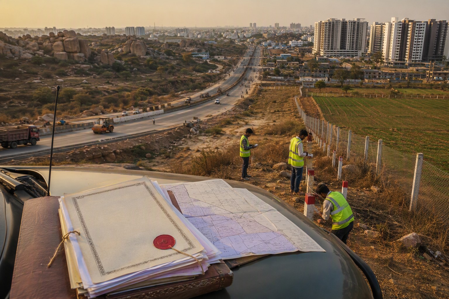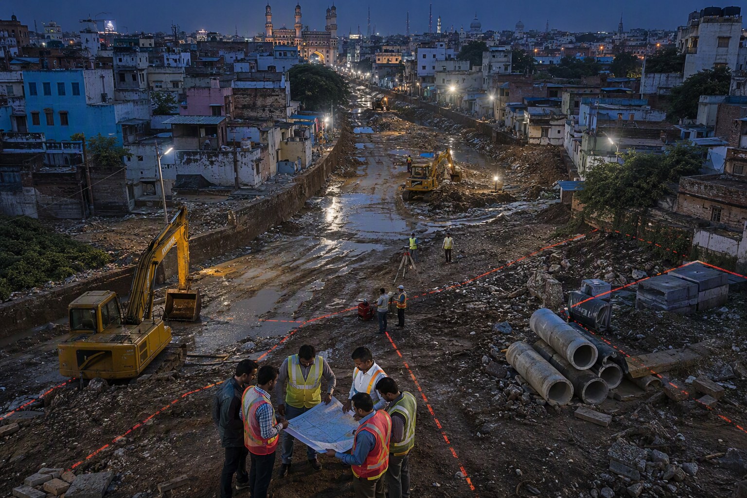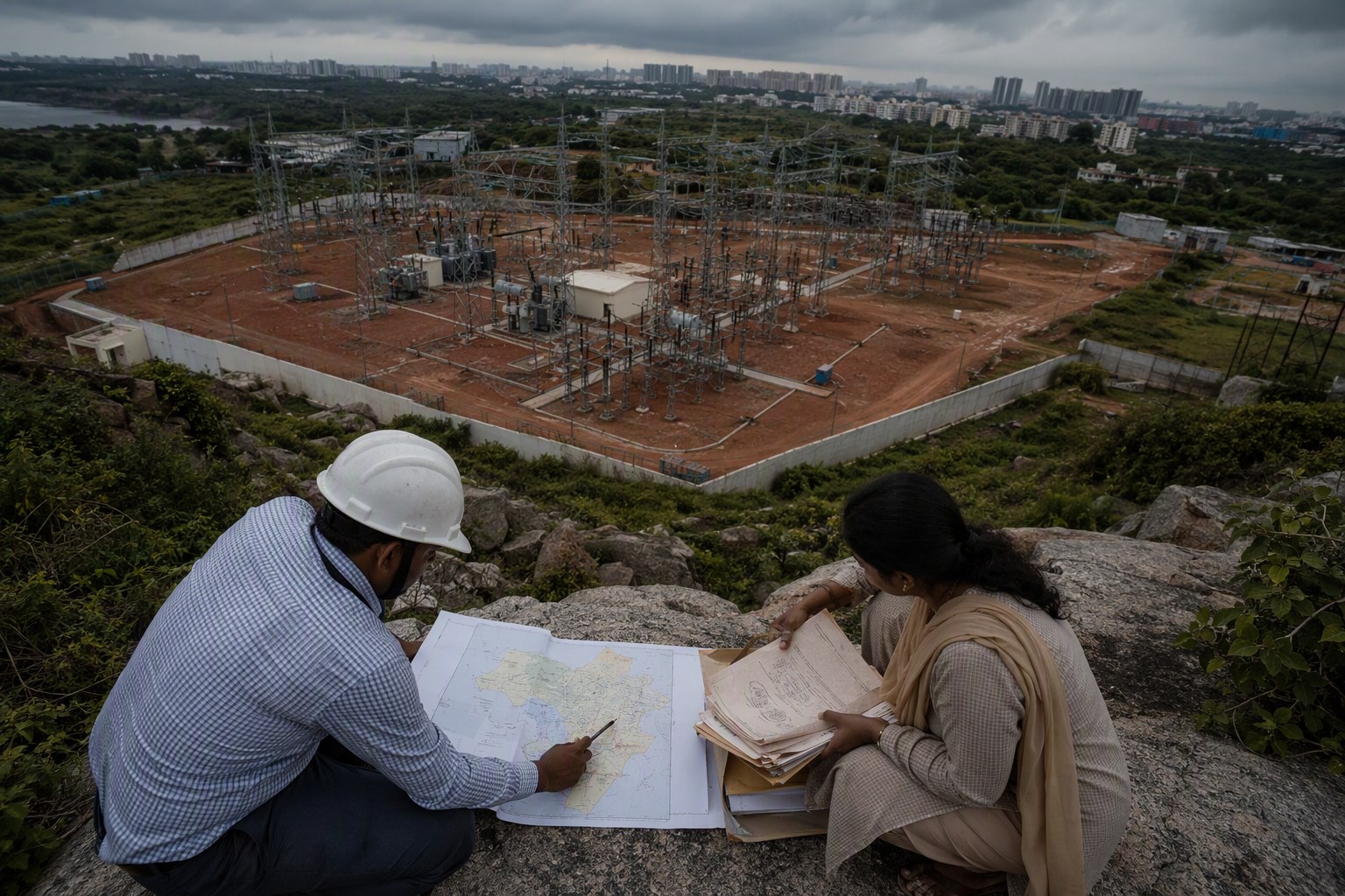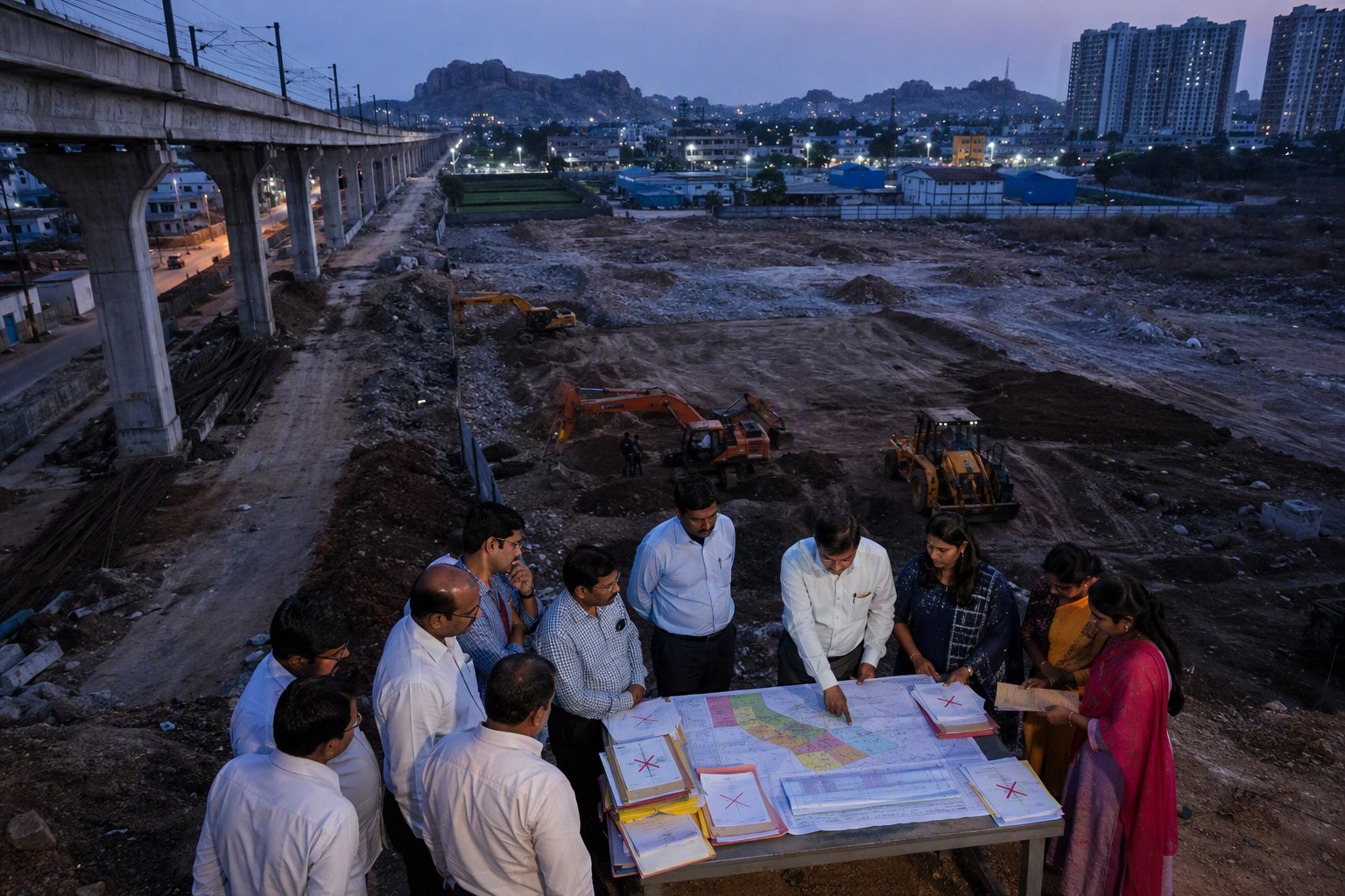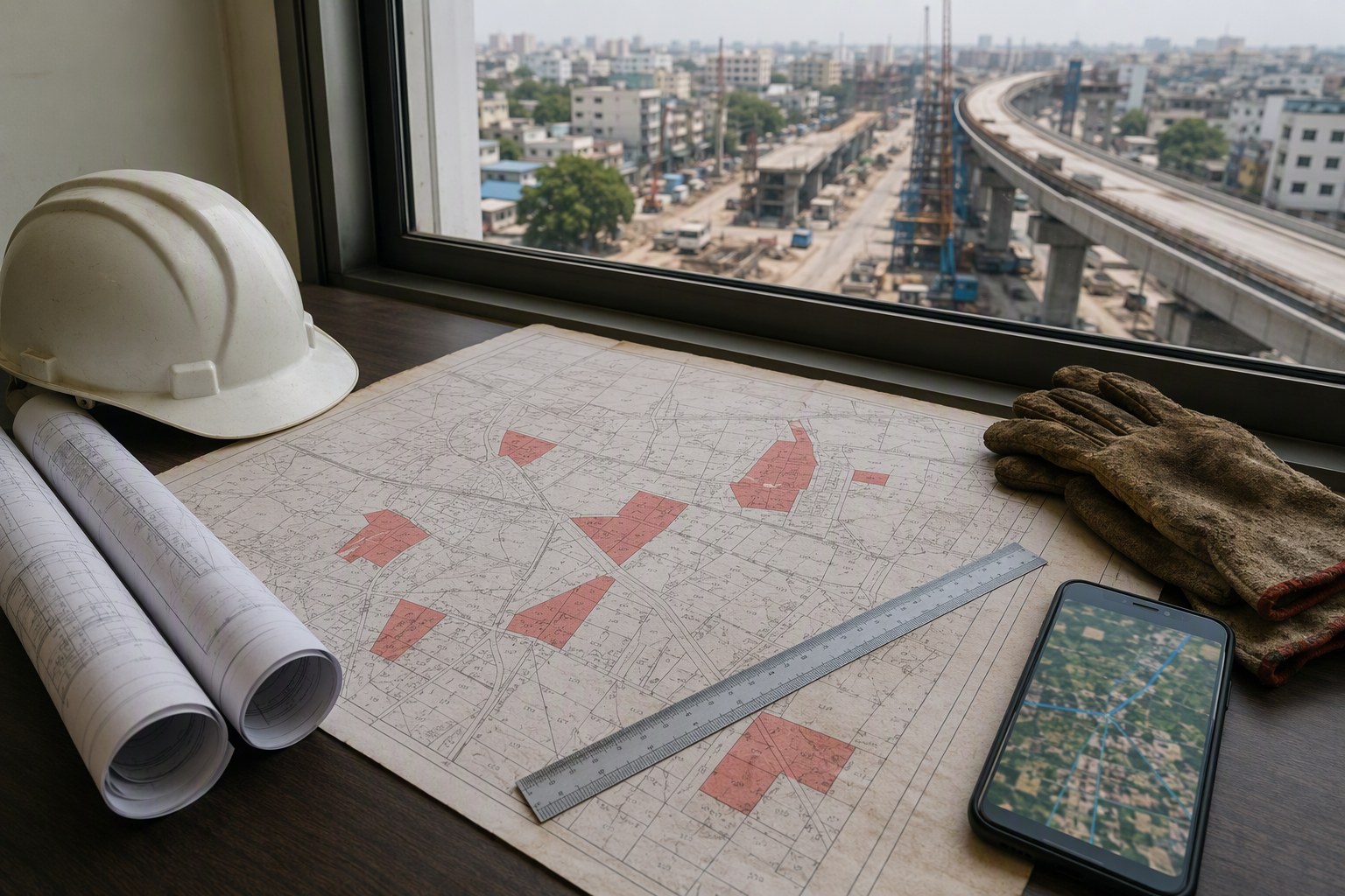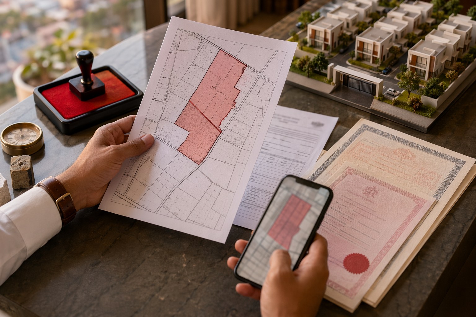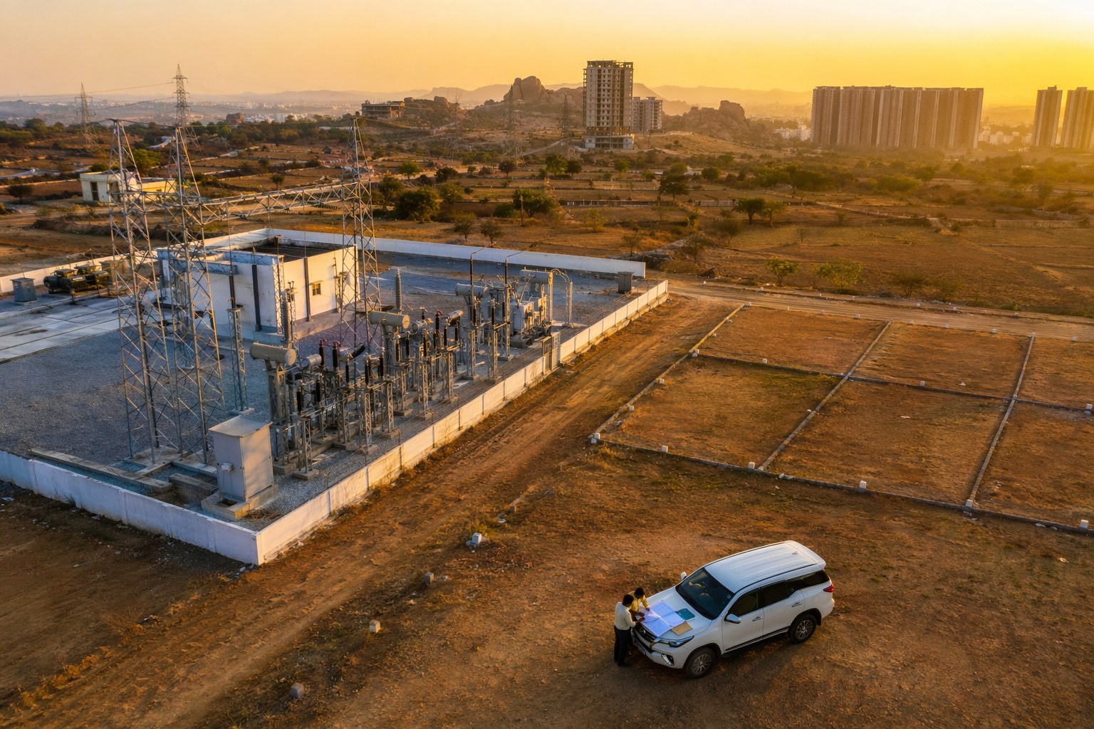


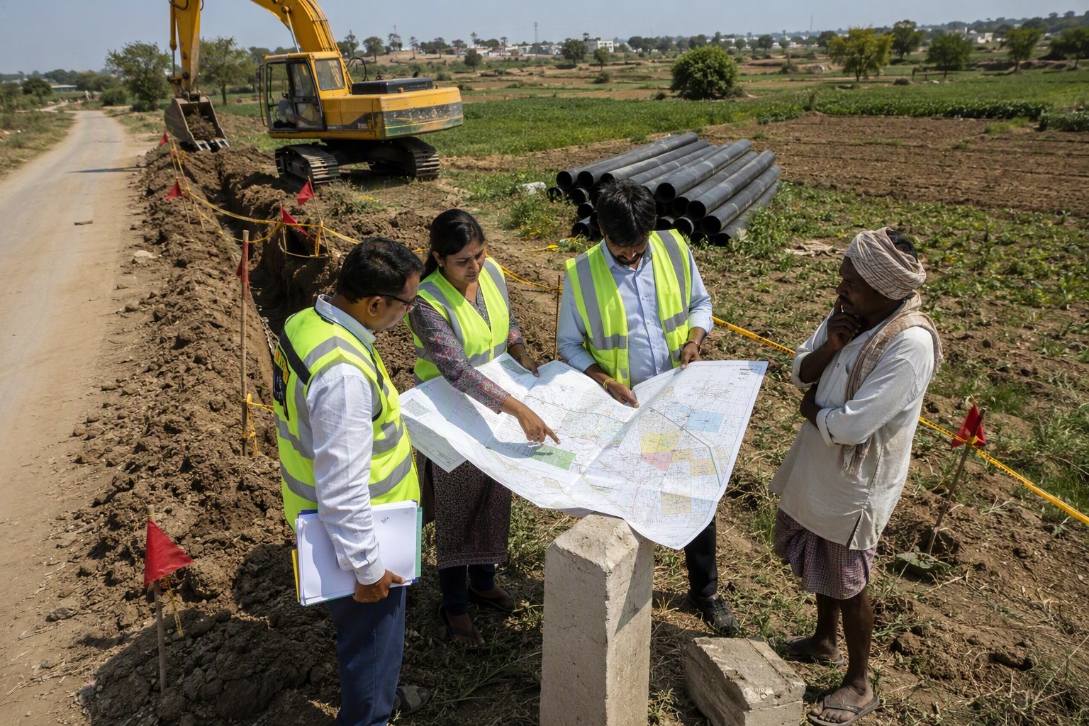
Telangana Water Pipeline Projects coming up around Hyderabad may soon require earlier Section 22-A verification before trenching permissions, easement marking and compensation files move forward. The practical reason is simple: if a proposed pipeline route crosses prohibited land, assigned land, government land, endowment land, court-disputed parcels or other restricted survey numbers, the work can get stuck at the most expensive stage — after alignment drawings and field mobilisation.
In our experience, utility projects get delayed not only because of engineering issues, but because land status is checked too late. A pipeline can be technically feasible along a road edge in Kokapet, Narsingi, Kollur, Mokila, Tellapur, Shamshabad, Medchal or Ghatkesar. But if the corridor touches a 22-A parcel, a missing pahani entry, a mismatched survey number or an unclear SRO record, permissions can slow down quickly.
Verified.RealEstate database records show 3,076,153 prohibited properties under Section 22-A. That number alone tells us why infrastructure teams should not treat 22-A verification as a last-minute legal formality.
Telangana Water Pipeline Projects: why 22-A checks matter now
Water pipelines are not like ordinary private construction permissions. They pass through multiple villages, mandals, road margins, layouts, agricultural lands, assigned parcels and sometimes old gram panchayat records. A single route may need coordination with local bodies, revenue staff, irrigation-related records, HMDA planning layers, municipal engineering teams and the concerned SRO.
For Hyderabad’s growth belt, this matters even more. Western corridors such as Kokapet, Narsingi, Manchirevula, Gandipet, Mokila and Tellapur are seeing heavy residential and commercial pressure. Northern pockets like Medchal, Kompally, Gundlapochampally and Shamirpet continue to attract warehousing, villas and plotted layouts. Eastern stretches around Ghatkesar, Pocharam, Bibinagar side and Adibatla belt have their own mix of industrial, residential and institutional land uses.
Pipeline works in such places usually need road-cutting permissions, trenching approvals, utility coordination and right-of-way clarity. If the land beneath or beside the proposed corridor falls under Section 22-A, the project file may need extra revenue verification before work proceeds. That is where early screening helps.
For buyers and landowners too, this is not a small issue. If a pipeline easement is proposed near your land, compensation or access may depend on clean title, correct survey number mapping and land classification. Before reacting to any field marking, owners should first verify the basic record using the Section 22-A Prohibited Property Check, the Survey Number Finder and the Encumbrance Certificate Search.
Telangana Water Pipeline Projects and the risk of late land verification
The usual problem starts with alignment confidence. Engineers mark the shortest or most workable path. Contractors plan trenching. Local permissions are sought. Only later, someone checks the land category in detail. By then, even a small 22-A objection can disturb the schedule.
Section 22-A restrictions can affect registration and transferability. For infrastructure works, the concern is slightly different. The authority or contractor may not be buying the land outright, but it still needs legal comfort to lay a utility, compensate affected parties, record easements or handle objections from occupants. If the person claiming compensation does not have clear title, or if the land is recorded as prohibited, the payment workflow can become messy.
We have seen similar issues in road-widening and utility corridor discussions around fast-changing villages. The old revenue record may say one thing, the site may show another, and the layout brochure may show something else. Dharani, pahani, village maps, SRO records and physical possession must speak to each other. When they do not, field work suffers.
What project teams should check before trenching
- Survey number status: Confirm the exact survey and sub-division numbers on the proposed route.
- 22-A status: Check whether any parcel is listed as prohibited under Section 22-A.
- Revenue classification: Verify whether land is patta, assigned, government, endowment, wakf, ceiling surplus or under litigation.
- Village and mandal mapping: Confirm the village boundary, mandal jurisdiction and SRO jurisdiction, especially in fringe areas.
- Existing charges and claims: Review EC entries and any visible mortgage or charge issues.
- Road and utility overlap: Match road width, right-of-way and utility corridor plans before issuing trenching permission.
For SRO jurisdiction, the Find Your SRO Office and SRO Village Directory can reduce basic filing mistakes. For route feasibility near roads, the Road Width Check and Land Use Zone Finder are useful starting points.
How 22-A verification may affect easements and compensation
In a pipeline corridor, the land is not always acquired fully. Sometimes the authority needs permission to lay, maintain and access the line. That is where easement clarity becomes critical. If the landowner has a clean record, compensation or consent documentation is relatively easier. If the land is disputed or prohibited, the file may need revenue department review before any payment is released.
For example, a pipeline passing through a village in Gandipet mandal may involve private patta land, road margins and old agricultural survey numbers. A similar route in Shamshabad mandal may touch airport-side development zones, layouts and older revenue parcels. In Medchal mandal, industrial sheds, warehouses and gram panchayat layouts can sit next to older agricultural records. Each location has a different paperwork risk.
That is why route-level land due diligence should happen before tender finalisation or at least before trenching permission is issued. It is cheaper to shift an alignment on paper than to stop excavation after machines reach the site.
Impact on homeowners and plot buyers
If you own a plot in Tellapur, Kollur, Mokila, Bachupally, Pocharam or Adibatla and hear about a proposed pipeline nearby, do not panic. A utility line does not automatically mean loss of ownership. But you should check whether your survey number is affected, whether any easement is proposed, and whether your land record is clean.
Start with title basics. Use the Property Verification Tool to organise your checks, then compare market value references through the Market Value / Guideline Value Search. If any transfer, settlement or sale is being planned while a utility corridor is being discussed, keep stamp duty estimates ready through the Stamp Duty Calculator. These tools do not replace legal advice, but they help you ask the right questions before signing or objecting.
Where Hyderabad corridors may feel the pressure
The pressure points are likely to be the same locations where population growth, plotted development and public infrastructure meet. Around the western belt, water supply upgrades can overlap with villa projects, gated communities and plotted layouts near Kokapet, Narsingi, Osman Nagar, Kollur and Mokila. In the north, corridors near Medchal, Dundigal, Kompally and Shamirpet often need careful village-wise land checks. In the east and south, Adibatla, Tukkuguda, Shamshabad, Ghatkesar and Pocharam need clean coordination between revenue, planning and utility departments.
Ready reckoner values, market value records and SRO jurisdiction are only one part of the story. For infrastructure, the bigger question is whether the government record allows the proposed action on that land. Section 22-A is central to that question.
| Checkpoint | Why it matters for pipeline works | Suggested first action |
|---|---|---|
| 22-A land status | Can delay trenching, easement and compensation files | Run a prohibited property check by survey number |
| SRO jurisdiction | Wrong SRO can create filing and EC confusion | Confirm village-to-SRO mapping |
| EC history | Shows registered transactions and possible claims | Review encumbrance entries early |
| Land use and road width | Helps align utility corridor with planning norms | Check land use zone and road width before trenching |
Telangana Water Pipeline Projects need land data before site work
The takeaway is direct: Telangana Water Pipeline Projects should bring Section 22-A checks into the early route-planning stage. This is not only a legal safety step. It is a project management step. Once trenching machines are on site, every objection becomes costlier, more visible and more difficult to resolve.
For government agencies, the better workflow is to screen proposed alignments against 22-A records, revenue classifications, EC history and SRO jurisdiction before issuing final road-cutting or trenching permissions. For contractors, the lesson is to ask for verified land schedules, not just drawings. For landowners, the practical move is to keep survey numbers, pahani copies, ECs and ownership documents ready if a corridor notice comes.
Hyderabad’s water and utility backbone has to expand with the city. But speed without land clarity is risky. A few days spent on proper 22-A verification can save weeks of site-level confusion later.
Frequently Asked Questions
What is Section 22-A in Telangana property records?
Section 22-A covers properties that are restricted or prohibited from registration due to government classification, assignment, endowment, litigation or other legal reasons. If a pipeline route touches such land, extra verification may be needed.
Why should water pipeline projects check 22-A status early?
Early checks help avoid delays in trenching permissions, easement documentation and compensation workflows. It is easier to adjust a route before field work begins.
Can a pipeline easement affect my plot ownership?
An easement does not always mean loss of ownership. It may give the authority limited rights to lay and maintain a pipeline. The exact effect depends on the land record, alignment and permission terms.
Which documents should landowners keep ready?
Keep the sale deed, EC, pahani or revenue extract, survey number details, layout approval if any, and SRO details ready. These help when verifying notices or compensation claims.
How can I check if my land is affected by 22-A?
You can start with the Section 22-A Prohibited Property Check on Verified.RealEstate using your survey number and village details, then cross-check with EC and SRO records.