

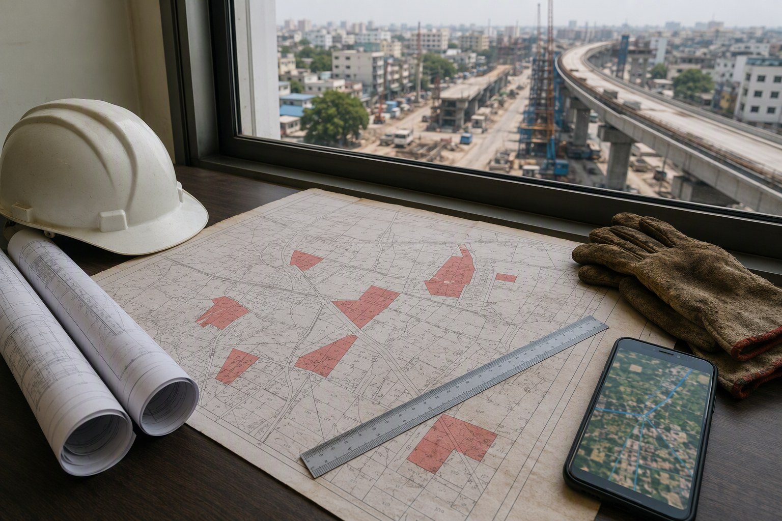
Telangana Infra Tenders May Add 22-A Land Status Maps: What Is Being Discussed
Telangana Infra Tenders May Add 22-A Land Status Maps as part of tender documentation for roads, utilities, public buildings and corridor works, if the idea moves from discussion to practice. The purpose is simple: show bidders and departments upfront whether the proposed alignment or site touches land that is blocked under Section 22-A of the Registration Act.
For Hyderabad and surrounding growth belts, this is not a small paperwork change. Telangana has 3,076,153 prohibited properties under Section 22-A as per latest IGRS data. When such land parcels enter an infrastructure project after tendering, the result is familiar to anyone who tracks public works: acquisition objections, registration dead ends, payment disputes, court cases and contractors sitting idle.
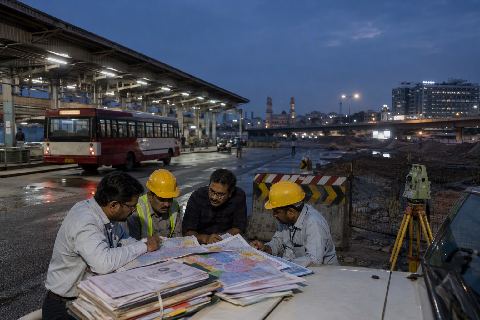
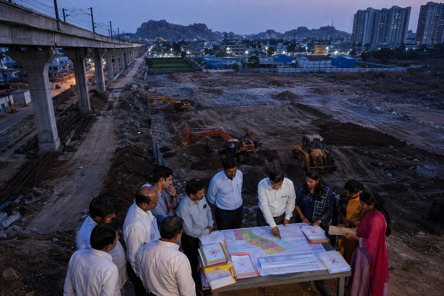
The proposal being discussed in real estate and infrastructure circles is that tender drawings should not stop with road alignment, chainage and land schedule. They should carry a 22-A land status map, preferably survey-number wise, so that the department, contractor, landowner and lender all know the land risk before the bid is submitted.
In our experience, many infra delays are not engineering problems. They are title visibility problems. A culvert, road widening or pipeline can be designed in weeks, but one blocked survey number can hold up execution for months.
Telangana Infra Tenders May Add 22-A Land Status Maps To Reduce Title Surprises
Section 22-A land is land where registration is prohibited or restricted by the government. It may include government land, assigned land, endowment land, ceiling surplus land, waqf land, forest-related entries, disputed notified parcels or other categories recorded as prohibited for registration. The exact reason differs from survey number to survey number.
Today, tender documents often mention land acquisition as a condition or risk, but they may not always give a clear visual layer of prohibited property status. That gap matters in fast-growing belts like Kokapet, Narsingi, Gandipet, Shamshabad, Kandukur, Maheshwaram, Ghatkesar, Medchal, Patancheru and Shankarpally, where public works and private development are running side by side.
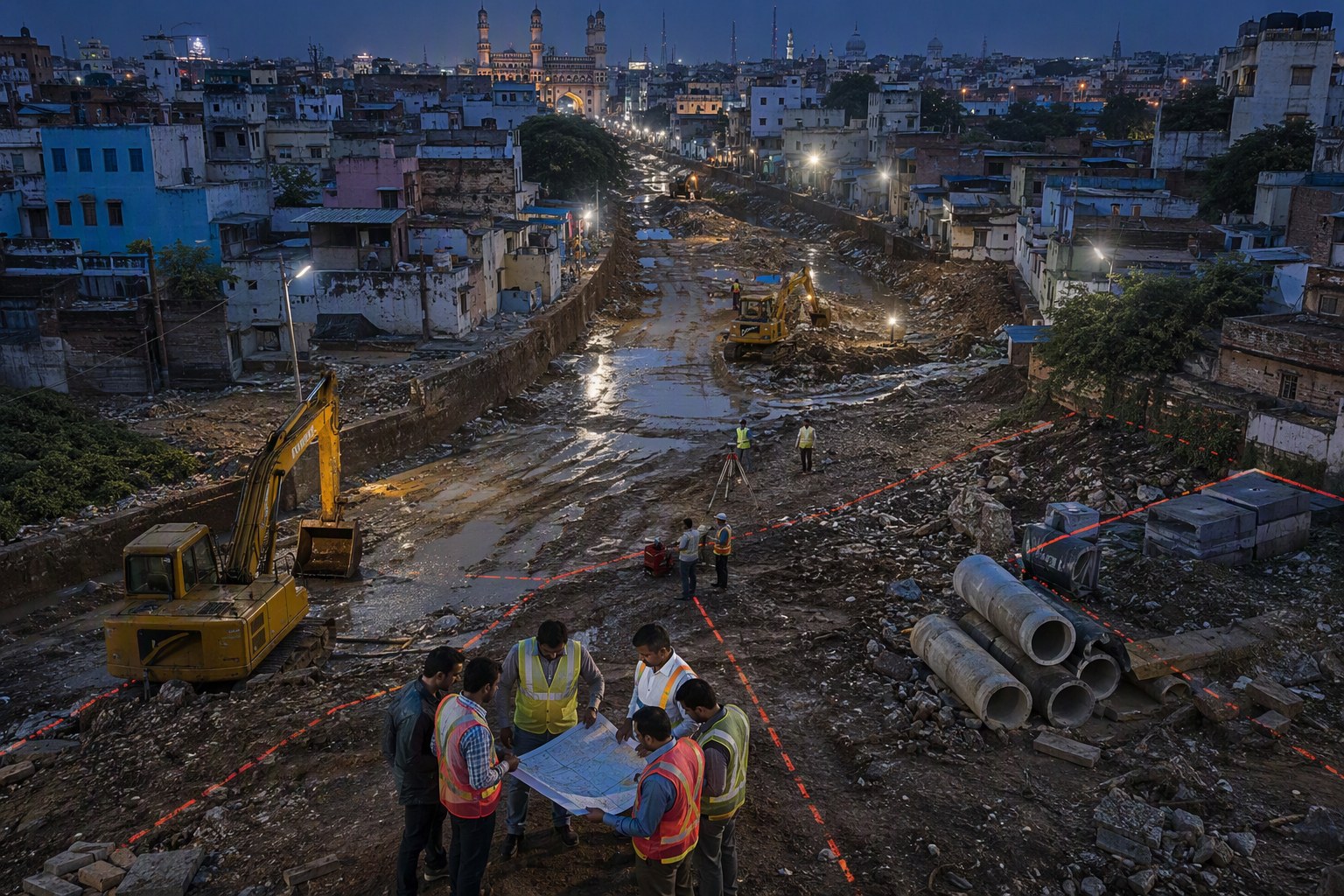
A contractor bidding for a road package near Narsingi may study quantities, soil, traffic diversion and mobilisation cost. But if a portion of the work area falls on a survey number with a 22-A entry, execution can get stuck at the revenue desk. The same issue can affect stormwater drains in Manikonda, link roads near Tellapur, utility corridors near Kollur, or access roads around industrial pockets in Patancheru mandal.
That is why a 22-A map inside the tender pack could change the quality of bidding. Bidders can price risk better. Departments can plan acquisition better. Landowners can question wrong entries earlier. Banks and project monitors can also see whether the site is clean enough for stage-wise funding.
How A 22-A Land Status Map Could Work In Telangana Infra Tenders
A practical tender annexure need not be over-designed. It can show the project boundary or alignment over village maps, with survey numbers marked by land status. The useful fields would be:
- District, mandal, village and survey number
- Extent falling within the proposed project
- Whether the survey number appears in 22-A prohibited property records
- Category or department linked to the restriction, where available
- Whether field verification or revenue clarification is pending
- SRO jurisdiction for document verification
- Date of status extraction from government records
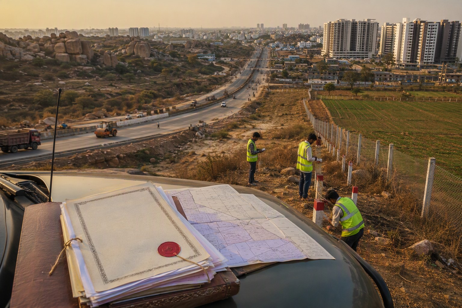
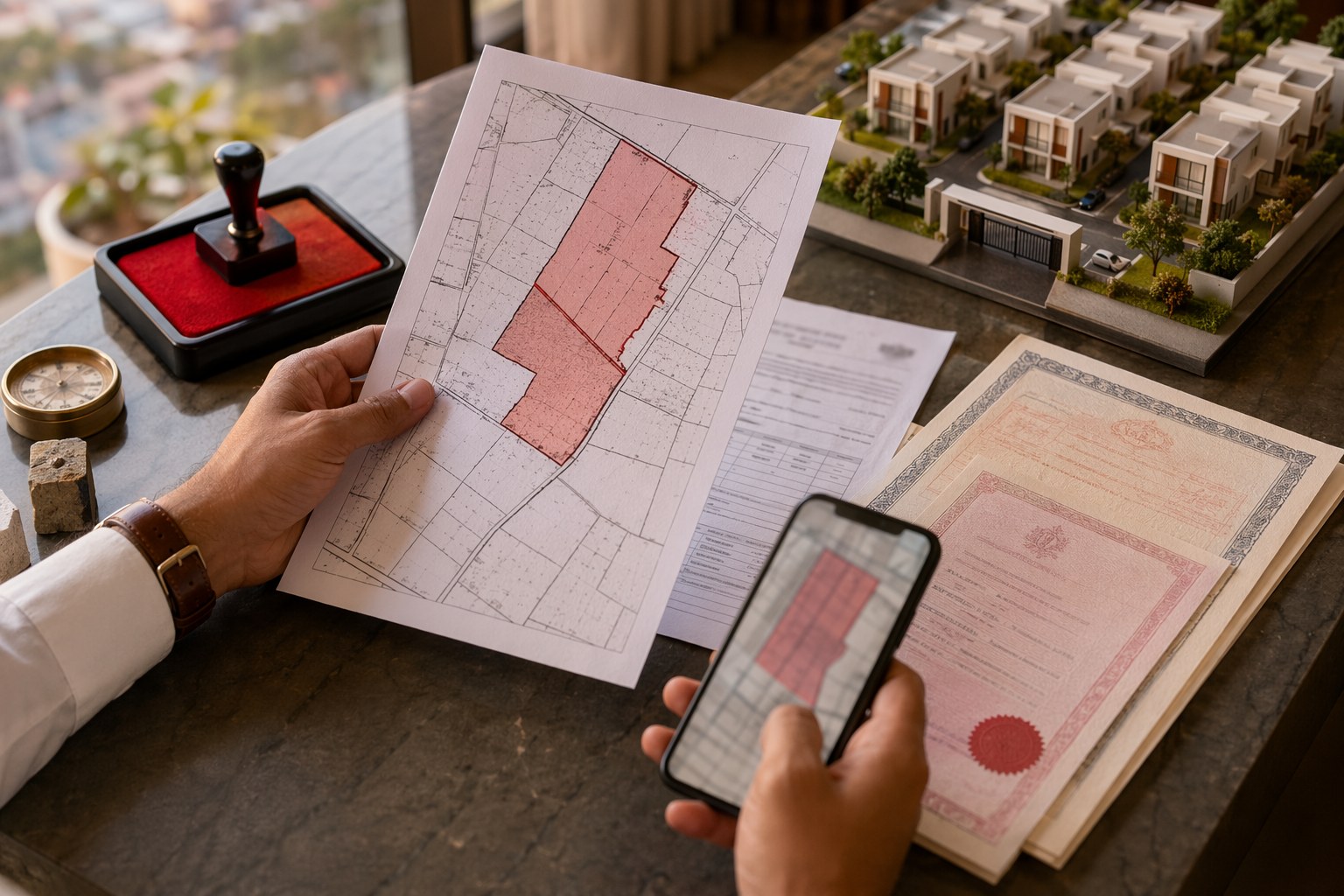
For example, if a road widening project crosses villages under Gandipet mandal and Rajendranagar mandal, the tender can include a colour-coded map. Green can show parcels with no visible 22-A restriction as per the checked record. Red can show prohibited parcels. Amber can show parcels requiring tahsildar or department clarification. This does not replace legal due diligence, but it gives every bidder the same risk picture.
Private buyers already do this in a smaller way before buying plots. They check survey numbers, EC, SRO, Dharani details and prohibited property entries. Public infrastructure tenders should not be weaker than a careful individual buyer. At the minimum, departments can cross-check through tools such as Section 22-A Prohibited Property Check, Survey Number Finder and Find Your SRO Office before tender finalisation.
Why Hyderabad Growth Corridors Need This Before Tender Stage
Hyderabad’s expansion is not happening in one clean circle. Growth is jumping across ORR exits, proposed arterial roads, logistics zones, residential layouts and industrial clusters. A single project can pass through multiple revenue villages. That is where land status confusion starts.
Take the western corridor. Kokapet, Narsingi, Puppalaguda, Nanakramguda, Tellapur and Kollur are high-activity locations, but each sits inside a different planning and revenue context. A road or nala work may touch patta land, layout land, government land or parcels with older entries. In the southern side, Shamshabad, Kothur, Kandukur and Maheshwaram have airport-linked, pharma-linked and logistics-linked activity. Here also, survey-number clarity is essential before contractors move machinery.
On the eastern side, Ghatkesar, Pocharam, Bibinagar and Yadadri-side corridors are seeing road and utility upgrades around institutions, layouts and industrial movement. In the north, Medchal, Kompally, Shamirpet and Dundigal have a mix of village lands, layouts, institutional parcels and lake-buffer related concerns. Across these locations, 22-A mapping can separate genuine execution risk from routine land paperwork.
Buyers in these areas should also read infra announcements carefully. A new road tender near a layout is good news only if the alignment, land acquisition and title status are workable. Before paying an advance for a plot near a proposed road, check the market value through Market Value / Guideline Value Search, review ownership trails with Encumbrance Certificate Search, and use Property Verification Tool for a broader title check.
What This Means For Contractors, Landowners And Homebuyers
For contractors, 22-A maps can reduce blind bidding. If the project has land blocks, they can ask pre-bid questions instead of discovering the problem after mobilisation. This is especially useful for smaller contractors who do not have large legal teams to chase mandal offices, SROs and departments after award.
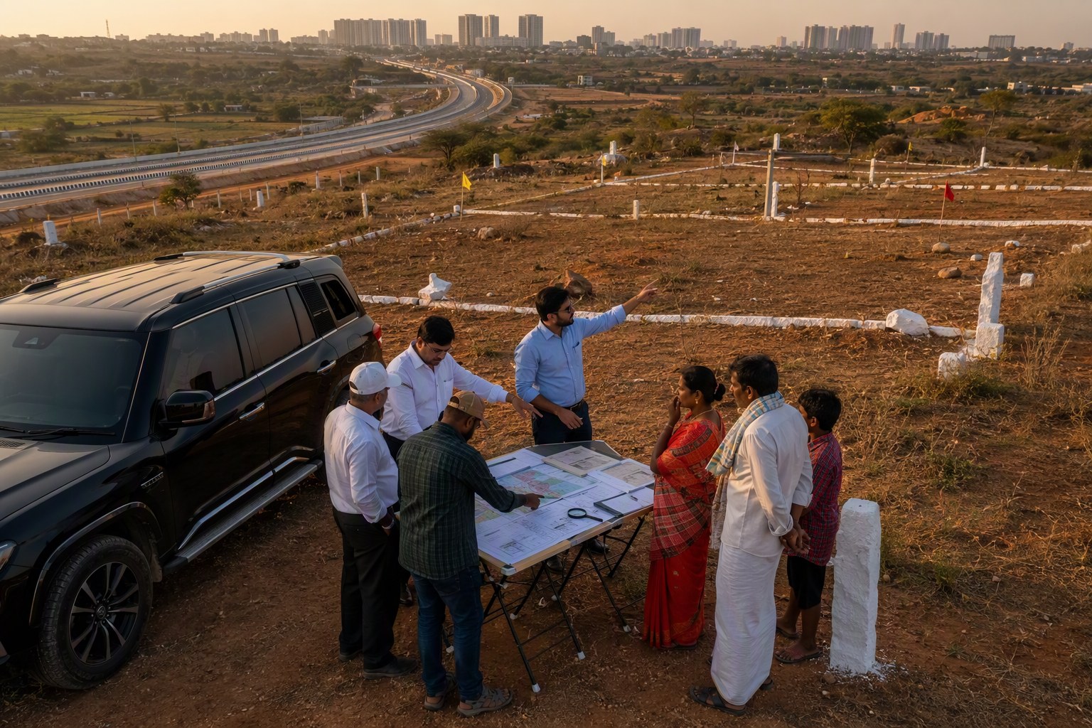
For landowners, early mapping can cut down last-minute shocks. Many families come to know about a 22-A entry only when they try to sell, mortgage or receive compensation. If an infra tender itself flags the entry, the landowner can approach the revenue department for correction or clarification sooner, assuming the entry is wrong or outdated.
For homebuyers, the signal is indirect but valuable. Infrastructure creates price excitement. We’ve seen buyers rush into plots near road proposals in Shankarpally, Moinabad, Maheshwaram and Ghatkesar purely on future connectivity talk. My view is simple: do not buy only because a road is marked on a brochure. Check the survey number, check whether the land is prohibited, check the SRO records, and then discuss price.
For developers, better tender mapping can improve project planning around access roads, trunk infrastructure and approvals. A gated community or apartment project may be legally clean, but if its approach road is stuck on disputed or prohibited land, sales and possession timelines can suffer. This is why buyers should also check RERA details through RERA Project Lookup and track later changes using Property Change Tracker.
What A Good Tender Annexure Should Not Do
A 22-A map should not become a decorative PDF attached to a tender. It must be usable. The map should not hide survey numbers behind unclear colours. It should not say “land to be handed over by department” without telling bidders what land is actually blocked. It should not treat all 22-A entries as the same, because some may be curable errors while others may involve serious government or institutional claims.
The better approach is to give a status table along with the map. Something like this would be useful:
| Field | Why it matters |
|---|---|
| Village and mandal | Identifies the correct revenue jurisdiction for verification |
| Survey number | Connects the tender alignment to land records |
| 22-A status | Shows whether registration restrictions are visible |
| SRO | Helps bidders check registration and EC records |
| Clarification status | Separates confirmed blocks from pending verification cases |
One caution: a map is only as good as the data date and the survey accuracy. Telangana’s land records, pahani entries, Dharani data, old registration documents and local possession realities may not always speak in one voice. So the tender should mention the date of data extraction and allow pre-bid clarification on specific survey numbers.
Telangana Infra Tenders May Add 22-A Land Status Maps: Our Reading
If implemented properly, this will be a sensible governance upgrade. Telangana does not need more paperwork for its own sake. It needs cleaner pre-tender due diligence. With 3,076,153 prohibited properties under Section 22-A in the database, ignoring land-status risk at tender stage is not practical.
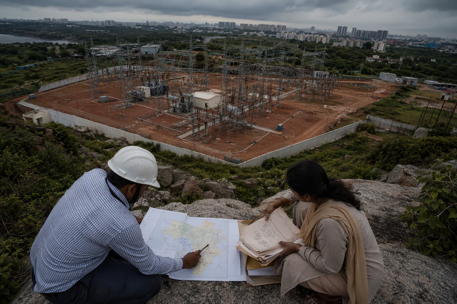
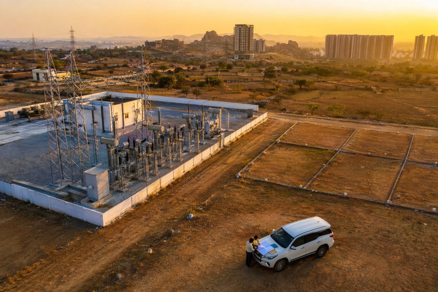
The move will be most useful for road widening, new link roads, canal works, utility corridors, substations, government campuses and approach-road projects. These are exactly the works where small strips of land matter. One blocked parcel can break continuity.
My opinion: every major tender in HMDA influence areas and fast-growing mandals should carry three land layers as a standard annexure — 22-A status, SRO/village mapping and land-use zoning. If departments also add ready reckoner or guideline value references for acquisition planning, bidders will get a cleaner picture. Citizens will also know whether a project is genuinely ready to move or still stuck in land groundwork.
Until that becomes routine, buyers and investors should do their own checks. For any plot or land near a proposed infra project, verify the survey number, examine EC, check prohibited status, confirm SRO, and compare the ready reckoner value before negotiating. Hyderabad rewards patient due diligence. It punishes excitement without documents.
Frequently Asked Questions
What is a 22-A land status map in Telangana infra tenders?
It would be a map showing whether survey numbers affected by a proposed infrastructure project are listed as prohibited properties under Section 22-A. This can help departments and bidders identify title blocks before work is awarded.
Why does Section 22-A matter for road and utility projects?
If a road, pipeline, drain or public building site touches 22-A land, registration, acquisition or compensation may get delayed. Early mapping helps reduce surprises during execution.
How many prohibited properties are recorded in Telangana?
As per latest IGRS data available in our database, Telangana has 3,076,153 prohibited properties under Section 22-A.
Should buyers check 22-A status near proposed infrastructure projects?
Yes. If you are buying land near a proposed road, corridor or public project in areas like Kokapet, Shamshabad, Maheshwaram, Ghatkesar or Patancheru, check the survey number, EC, SRO and 22-A status before paying an advance.
Does a clean tender map guarantee clear title for nearby private plots?
No. A tender map may help understand project land risk, but private buyers still need separate title due diligence for their own survey number, including EC, pahani, Dharani records, SRO checks and legal review.