

Telangana Urban Forest Drives and green belt projects may face a tougher land-record test as government records show 3,076,153 Section 22-A prohibited property entries in the state. For Hyderabad and its expanding edges, that number is not a small back-office detail. It can affect how land is identified, handed over, protected, fenced, or even purchased for environmental projects.
The issue is simple: urban forests need land with clean title, clear possession, and no registration block. Section 22-A entries, which cover prohibited properties, can stop or complicate registration at the SRO level. When public agencies, municipalities, developers, CSR groups, and resident welfare associations push plantation drives or green buffers, early title verification becomes a practical necessity, not a paperwork luxury.
Telangana Urban Forest Drives meet 3,076,153 Section 22-A entries
As per latest IGRS data available in the Verified.RealEstate database, Telangana has 3,076,153 prohibited property entries under Section 22-A. These records generally relate to properties where registration is restricted due to government claims, assigned land status, endowment concerns, wakf classification, court matters, forest-related issues, ceiling cases, or other notified restrictions.
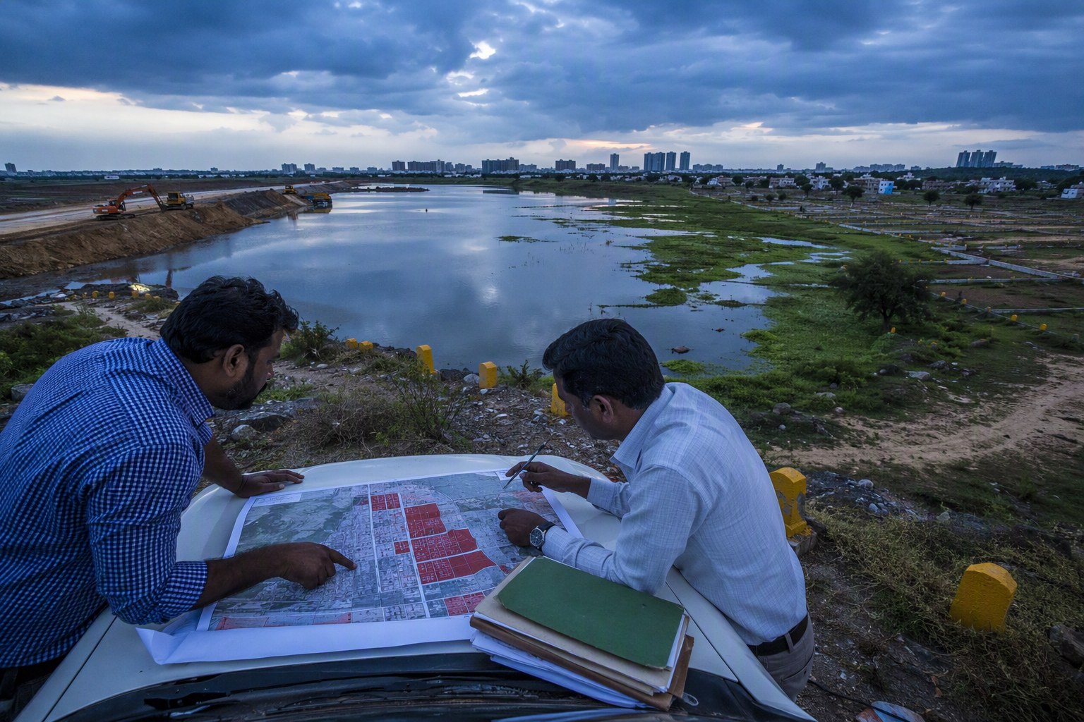
For a normal buyer, a 22-A entry usually means the Sub-Registrar Office may not register the transaction. For an urban forest project, the impact can be more layered. A local body may identify an open parcel near a nala, lake buffer, hillock, road margin, or institutional land. On paper it may look vacant. On ground, it may be fenced, occupied, encroached, or informally used. In revenue records, it may carry another story altogether.
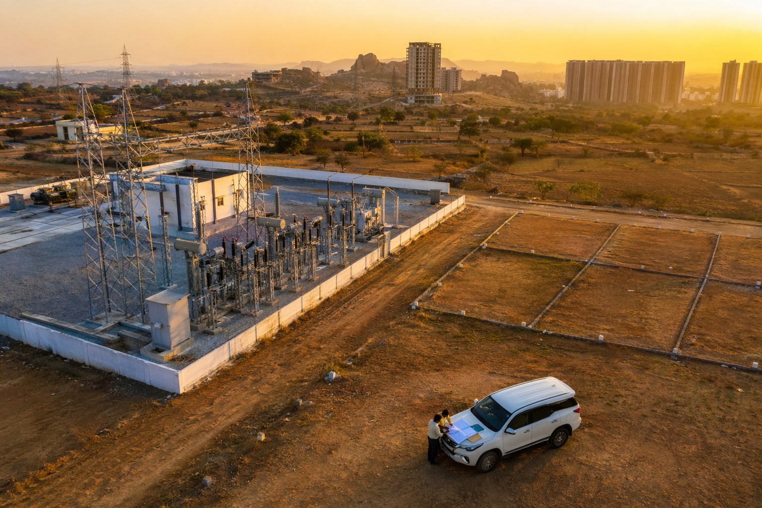
We have seen this pattern around several Hyderabad growth corridors. Areas such as Kokapet, Tellapur, Narsingi, Gopanpally, Puppalaguda, Manikonda, Shamshabad, Adibatla, Bachupally, Kompally, Medchal, and Pocharam have a mix of private layouts, government lands, old gram panchayat records, lake beds, and revenue survey parcels. Any greening project in such locations must begin with survey number-level checks.
In Hyderabad real estate, a vacant-looking land parcel is not automatically safe land. For urban forest work, the first field visit should happen after the first title check, not before it.
Why Telangana Urban Forest Drives need early prohibited property checks
Urban forest projects usually move with good intent. A department wants to protect public land. A colony wants a green lung space. A company wants to fund plantations. A planning authority wants a buffer zone. The problem starts when the land is assumed to be available without checking its legal category.
Section 22-A is not only a buyer-seller issue. It can influence whether a land parcel can be transferred, leased, developed, regularised, exchanged, or formally handed over. If a parcel is in the prohibited list, any project that depends on ownership transfer or formal registration can slow down. Even where no sale is involved, unclear land status can create local disputes later.
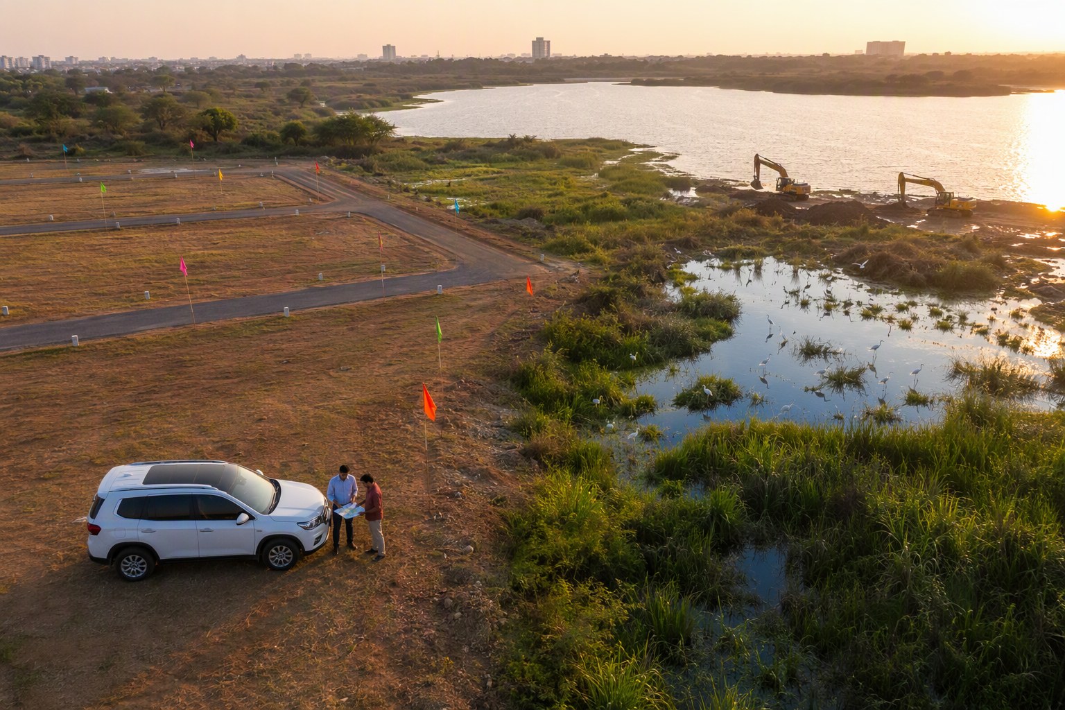
For example, a proposed green belt near a lake in Serilingampally mandal may involve revenue survey numbers, FTL or buffer checks, and local possession issues. A plantation patch near Shamshabad may touch assigned land, government land, or airport corridor planning. In Medchal-Malkajgiri side, parcels near industrial sheds, ORR service roads, and old village boundaries may have multiple layers of claims.
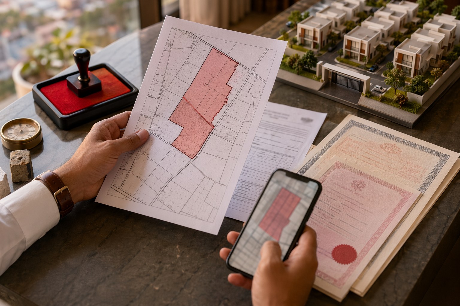
That is why the first verification stack should include the Section 22-A Prohibited Property Check, Survey Number Finder, and Encumbrance Certificate Search. These are basic checks, but they catch many avoidable surprises.
What Section 22-A means for Hyderabad’s green belts
Section 22-A of the Registration Act, as applied through state notifications, allows certain properties to be placed under a prohibited category for registration. In plain language, the SRO may refuse registration if the property appears in the prohibited list. The reason may be visible in government records, but the full background often needs supporting documents from revenue, endowments, wakf, forest, municipal, or court records.
For green belt planning, this matters in three situations:
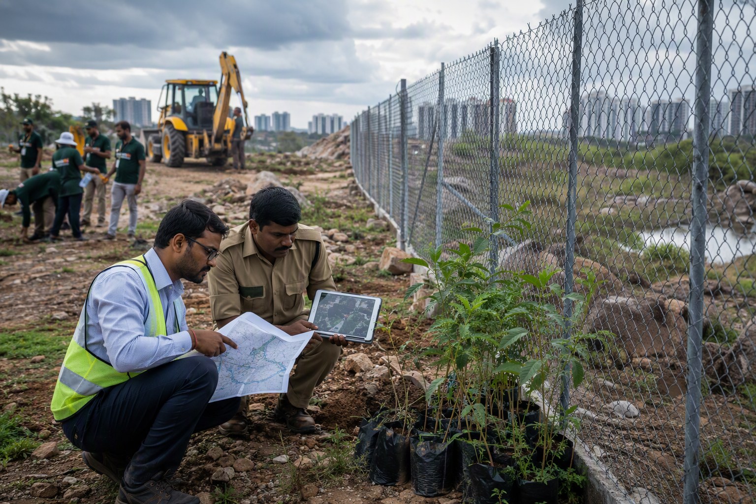
- Public land protection: If the land is already government land, it may be protected through boundary fixing, fencing, and plantation. But the department still needs clarity on survey number and possession.
- Land acquisition or transfer: If a parcel has to be acquired, exchanged, gifted, or transferred, a prohibited entry can become a direct hurdle.
- CSR or community plantation: Private participation is useful, but CSR-funded work on disputed land can invite objections from pattadars, occupants, or neighbouring owners.
In our experience, the most common mistake is checking only the visible possession. People see open land and assume it is government land. In Telangana, the real test is in pahani, Dharani record, old ROR, village map, survey sketch, SRO index, and the prohibited property database.
Mandals where title checking will matter most
Hyderabad’s environmental push will naturally focus on high-pressure zones where construction, road widening, lakes, nalas, hillocks, and population growth are all competing for space. These include mandals such as Serilingampally, Gandipet, Rajendranagar, Shamshabad, Hayathnagar, Ibrahimpatnam, Medchal, Quthbullapur, Malkajgiri, Uppal, Ghatkesar, and Shamirpet.
Take Gandipet mandal, where Kokapet, Narsingi, and nearby villages have seen intense real estate movement. Any green belt proposal here must be tested against survey boundaries and government land claims. In Serilingampally mandal, localities such as Gopanpally, Tellapur, and Nallagandla sit close to fast-growing residential pockets; even small parcels can carry old link document issues. Around Shamshabad and Rajendranagar, land-use, airport influence, revenue classification, and older agricultural records can overlap.
For citizens, the issue is not only about urban forests. If your apartment, villa plot, farmhouse land, or open plot sits near a notified green zone or proposed public plantation area, you should watch land records carefully. Use the Property Change Tracker to monitor changes, and cross-check values through the Market Value / Guideline Value Search before any transaction discussion.
Title verification steps before plantation, fencing or transfer
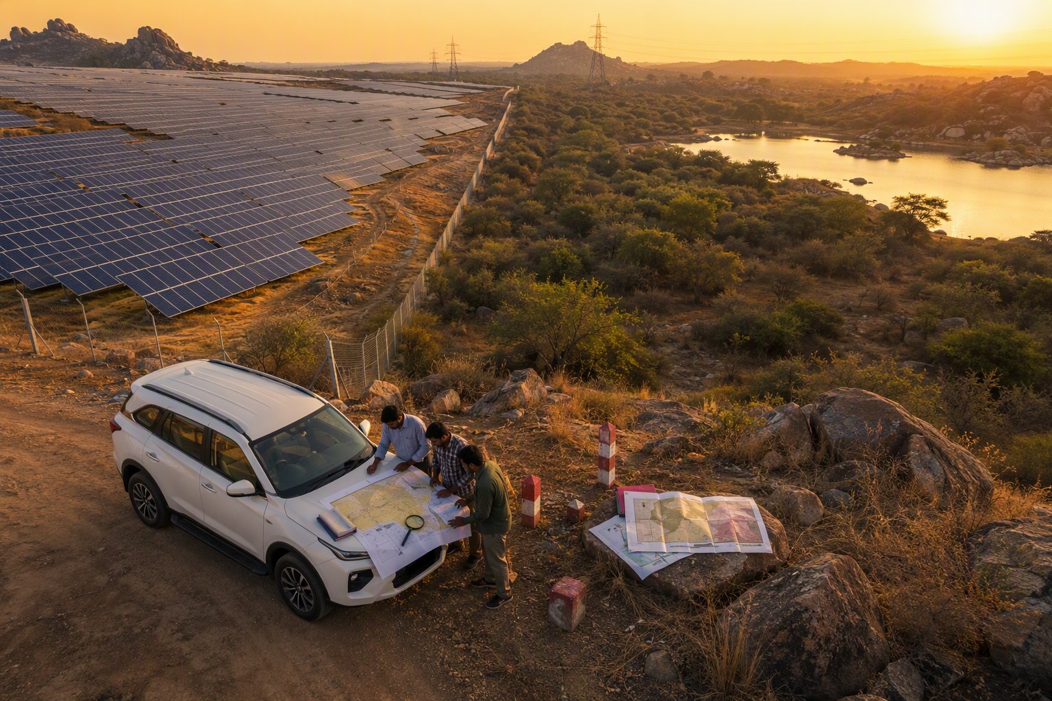
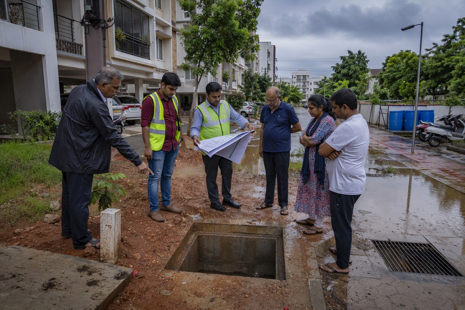
For any agency or private group working on Telangana urban forest drives, I would suggest a simple order of checks. It may feel slow at the start, but it avoids public embarrassment later.
| Stage | What to check | Why it matters |
|---|---|---|
| Survey identification | Village, mandal, survey number, sub-division | Prevents plantation on the wrong parcel |
| Revenue record review | Pahani, Dharani status, ownership, classification | Shows whether land is private, government, assigned, or otherwise classified |
| 22-A check | Prohibited property status | Flags registration and transfer restrictions |
| SRO search | EC, past transactions, pending registered claims | Reveals sale deeds, mortgages, releases, and link history |
| Planning review | Land use, road width, buffer zones | Helps align environmental work with planning rules |
For planning-linked checks, the Land Use Zone Finder, Find Your SRO Office, and Road Width Check can save time. If the project is part of a layout or gated development obligation, the OSR Calculator may also be relevant.
Impact on builders, RWAs and plot buyers
Urban forest drives can be positive for liveability. Hyderabad badly needs shaded public spaces, protected lake buffers, and better tree cover around dense corridors. But the legal foundation must be clean. Builders promoting projects near a planned green belt should not casually market the neighbouring land as permanent open space unless the land status supports that claim.
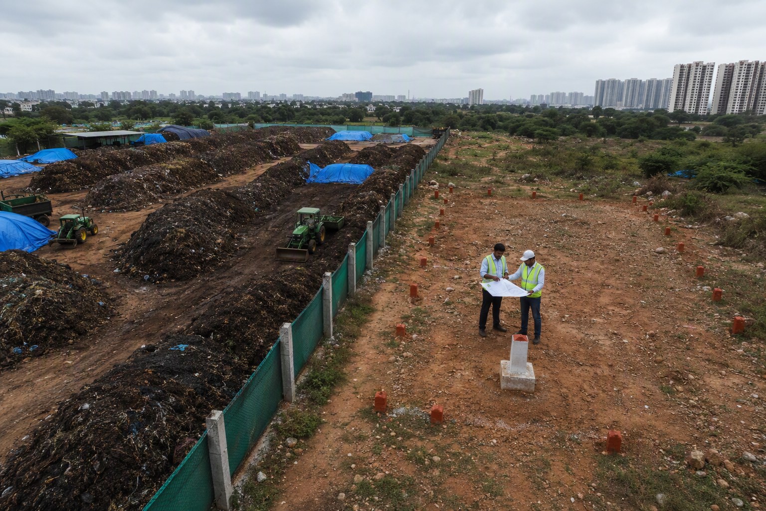
RWAs also need to be careful. If a colony adopts a parcel for plantation, they should obtain written permission from the competent authority and keep survey number records. A plantation done with public enthusiasm can still face removal if the land later turns out to be under a different department, private claim, road alignment, or litigation.
Plot buyers should treat green surroundings as a plus, but not as proof of title safety. Before paying an advance, check the EC, 22-A status, SRO jurisdiction, and land-use zone. If the seller says “registration will happen, no issue”, ask for the proof. In Telangana, that proof is document-based, not word-of-mouth.
Telangana Urban Forest Drives: the real test is record discipline
The headline number — 3,076,153 Section 22-A prohibited property entries — should push agencies to create a record-first workflow for urban forest and green belt projects. This does not mean every green proposal is risky. It means the land file should be checked before budgets, fencing contracts, plantation events, or public announcements.
My view is straightforward. Telangana’s green push will be stronger if it is backed by clean land records. A tree planted on disputed land may become tomorrow’s court exhibit. A tree planted on properly verified public land can protect that parcel for the next generation.
For Hyderabad, especially in high-value western and northern corridors, environmental planning and title verification must now move together. The city cannot afford casual land assumptions anymore.
Frequently Asked Questions
What is Section 22-A in Telangana property records?
Section 22-A refers to properties placed under a prohibited category for registration. If a property appears in this list, the SRO may refuse registration unless the restriction is legally cleared.
Why do Telangana urban forest drives need 22-A checks?
Urban forest projects need clear land status. A 22-A entry can affect transfer, registration, possession clarity, or formal handover of land for green belt work.
How many Section 22-A prohibited property entries are in Telangana?
As per latest IGRS data in the Verified.RealEstate database, Telangana has 3,076,153 Section 22-A prohibited property entries.
Which checks should be done before using land for a green belt?
Check survey number, pahani, Dharani status, EC, SRO jurisdiction, Section 22-A status, land-use zone, and any local possession or litigation issues.
Can a private buyer rely on nearby urban forest land as permanent open space?
Not without verification. Buyers should confirm land ownership, planning status, and any government notification before treating nearby open land as permanent green space.