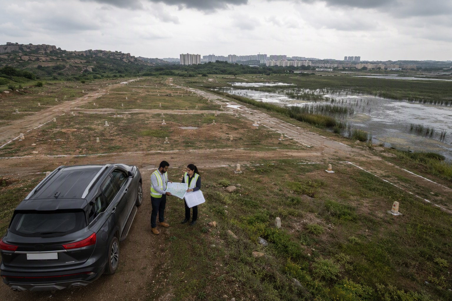
Rainwater Harvesting Drives May Screen Community Land in Telangana because colony associations, apartment bodies and layout committees are now being pushed to look beyond engineering drawings. Before a recharge pit, percolation trench, stormwater link or community sump is placed on common land, the ownership of that land, its survey number trail, SRO records and Section 22-A status may need a proper check.
The shift is practical. Hyderabad’s colonies want rainwater harvesting upgrades after repeated waterlogging in one season and borewell anxiety in another. But in places like Kondapur, Nallagandla, Manikonda, Kokapet, Tellapur, Bachupally, Uppal and LB Nagar, the land story is rarely simple. A small open space may be shown as park in a layout, used as a community area by residents, recorded under another classification in old revenue papers, or even fall near a nala, tank buffer or road widening line.
That is where sustainability planning is meeting property due diligence. Telangana’s prohibited property database under Section 22-A contains 3,076,153 records as per latest IGRS data available to us. Not every colony land parcel is prohibited, of course. But that number tells us one thing clearly: nobody should assume that an open plot, park strip or common passage is clean only because residents have used it for years.
Why Rainwater Harvesting Drives May Screen Community Land in Telangana before digging
The immediate issue is simple: rainwater harvesting work needs ground access. Colony-level works are not just rooftop pipes. They often involve recharge wells in parks, trenches along internal roads, desilting near stormwater drains, pits beside clubhouses, and soak arrangements in open space reservation areas. Each location sits on some recorded land parcel.
In our experience, many Resident Welfare Associations first call a contractor, then look for documents. That order should change. The better sequence is document check, site check, ownership check, then civil work. If the land later turns out to be government land, assigned land, wakf/endowment related land, ceiling land, tank bed, nala land, or any other restricted category, the colony may face questions even if the intention was environmental.
Section 22-A screening is one part of that check. Associations can start with the Section 22-A Prohibited Property Check and then match the result with survey number details through the Survey Number Finder. If residents are not sure which registration office handles their area, the Find Your SRO Office page is the next logical stop.
This is not about stopping rainwater harvesting. Telangana badly needs better groundwater recharge habits in urban and peri-urban colonies. The point is to avoid a familiar Hyderabad problem: good work started on unclear land, followed by disputes, notices or internal fights within the association.
Rainwater Harvesting Drives May Screen Community Land in Telangana: what RWAs should verify
For colony committees, the first file should not be the contractor’s quotation. It should be the land file. In Serilingampally mandal, many older layouts around Kondapur and Nallagandla have gone through multiple developer hands. In Gandipet mandal, areas like Kokapet, Narsingi and Manikonda have seen rapid conversion from revenue village patterns to high-value urban neighbourhoods. In Bachupally and Medchal side, plotted communities often depend on layout approvals and handover records. Each locality has a different paper trail.
A practical RWA checklist should include the registered layout plan, link documents for the common area, EC, pahani or revenue extracts where relevant, building permission or layout approval, municipal handover papers if available, and any court or government restriction noted by members. The Encumbrance Certificate Search helps residents read the transaction trail. For government market value reference, use the Market Value / Guideline Value Search instead of relying on hearsay from a broker or neighbour.
| Rainwater harvesting location | Land question to ask | Record to check |
|---|---|---|
| Colony park or open space | Is it approved as common area or still in private name? | Layout approval, EC, SRO records |
| Roadside recharge trench | Is it inside internal road, public road margin or disputed strip? | Approved layout, road width record, municipal note |
| Near nala or lake feeder channel | Is there any water body, buffer or drainage restriction? | Revenue map, local body records, site inspection |
| Clubhouse or apartment common area | Does the association have authority to alter the space? | Sale deed, association by-laws, sanctioned plan |
| Vacant community plot | Is the land hit by Section 22-A or other restriction? | 22-A check, EC, pahani, Dharani-related record |
Why 22-A status matters even for green projects
Section 22-A is usually discussed when a buyer’s sale deed is stopped at the SRO. But the same risk thinking applies to community works. If a colony uses a restricted parcel for a permanent structure, even a recharge well, it can become messy later. A future road widening, park handover, layout regularisation issue, title dispute or government claim may bring the work under scrutiny.
We’ve seen this pattern in Hyderabad real estate: residents spend money first and search documents later. The problem becomes sharper when there is a high-value locality involved. A small strip in Kokapet, Narsingi, Kondapur or Tellapur can carry serious commercial interest. In such areas, a “common land” claim should be backed by documents, not only by WhatsApp messages and old colony memory.
For apartments, the issue is slightly different. If the rainwater harvesting upgrade is within the sanctioned building footprint or common area, the association should still check the sanctioned plan, UDS references, parking impact and structural route for pipes. For plotted layouts, survey number clarity is more critical because parks, OSR land, roads and amenity plots may have separate treatment.
My view is straightforward: rainwater harvesting should be made easier, not casual. A one-day land screening before work begins can save residents months of arguments later.
How Hyderabad colonies can combine sustainability and land due diligence
A sensible process can be completed without slowing down genuine environmental work. First, identify every proposed pit, well or trench on a marked layout copy. Second, write down the survey number, plot reference or common-area description for each location. Third, check whether any survey number appears in prohibited property records. Fourth, pull the EC and match old and new document numbers. Fifth, confirm SRO jurisdiction and keep a short committee note approving the work.
Where the site is near a lake, nala, tank, hill slope or government land boundary, local body consultation is safer. In areas like Hafeezpet, Miyapur, Ameenpur side, Peerancheru, Nagole and Hayathnagar, ground conditions and old revenue classifications can surprise even experienced buyers. A pahani entry, Dharani record, old layout sketch and present possession may not always tell the same story.
Associations planning larger upgrades should also check open space norms. The OSR Calculator is useful where layouts or redevelopment plans are being discussed. If a recharge structure affects buildable area or future redevelopment thinking, the FSI/FAR Calculator can help residents understand planning impact. For a wider legal screening, the Property Verification Tool brings the due diligence thinking into one workflow.
One more point: do not mix donation politics with land records. Many colonies collect funds quickly for bore recharge, stormwater repairs or park works. That is fine. But the treasurer should insist on a document folder before releasing major payments. If the land is clean, the folder proves it. If there is a doubt, the association can shift the recharge point before excavation.
What this means for buyers and apartment residents
For homebuyers, colony rainwater harvesting is now a quality signal. A layout that has functioning recharge pits, clear stormwater movement and documented common areas is more trustworthy than a layout where the park exists only on paper. But buyers should ask sharper questions. Who owns the community land? Is the park registered, handed over, or still in the developer’s name? Are any common spaces under litigation or 22-A restriction? Has the association checked the EC?
Ready reckoner value, market value and resale pricing may attract attention first, but title hygiene of common areas also affects liveability. If a gated community in Tellapur or a plotted layout near Kompally has a beautiful park but no clear records for that park, residents may face a problem when they need permissions, upgrades or redevelopment decisions.
For developers, this is an opportunity. Instead of treating rainwater harvesting as a box to tick in approvals, they can hand over a clean sustainability file: sanctioned plan, recharge layout, maintenance manual, common area title notes, EC extracts and SRO references. That would make the project easier to trust, especially in RERA-registered developments. Buyers can cross-check project basics through the RERA Project Lookup.
The bottom line for Telangana colonies
Rainwater harvesting drives in Telangana are moving from individual houses to community-scale action. That is a good development. But community-scale work needs community-scale documentation. With 3,076,153 prohibited property records in the Section 22-A database as per latest IGRS data available to us, screening should become a normal step, not a last-minute panic.
Hyderabad’s future housing value will not depend only on location names like Kokapet, Kondapur, Nallagandla or Bachupally. It will also depend on whether colonies manage water, land and records responsibly. A recharge pit built on clear land is an asset. A recharge pit built on disputed land is a future meeting agenda nobody wants.
Frequently Asked Questions
Should an RWA check Section 22-A before building rainwater harvesting pits?
Yes. If the pit, trench or recharge well is planned on community land, the association should check whether the survey number or parcel is affected by Section 22-A or any other restriction.
Which records are useful before using colony open space for recharge works?
Check the approved layout, EC, SRO details, survey number, pahani or revenue record where relevant, municipal handover papers and association approvals.
Can rainwater harvesting be done on OSR or park land?
It may be possible when it supports the permitted use and does not violate layout, municipal or environmental conditions. The association should verify records and take local authority guidance where needed.
Why does SRO jurisdiction matter for community land checks?
The SRO record helps trace registered documents, EC entries and past transactions. For colonies spread across changing urban boundaries, correct SRO identification avoids wrong searches.
What should buyers ask about rainwater harvesting in a gated community?
Ask where the recharge structures are located, whether common land title is clear, whether EC and 22-A checks were done, and who maintains the system after handover.