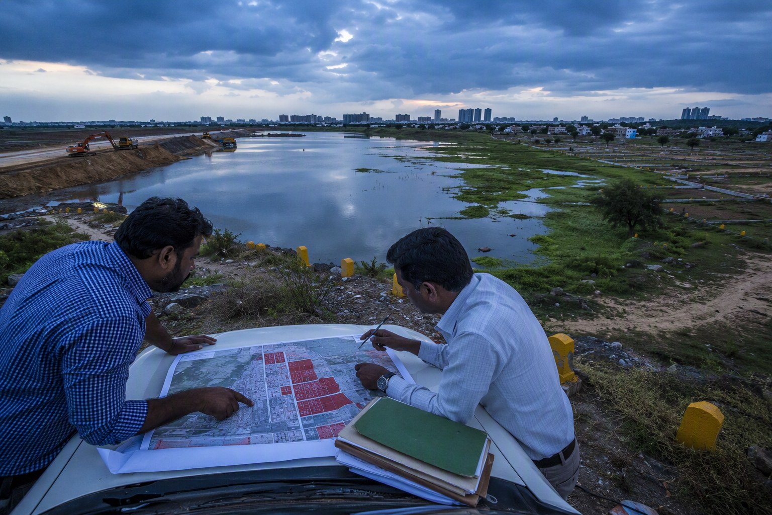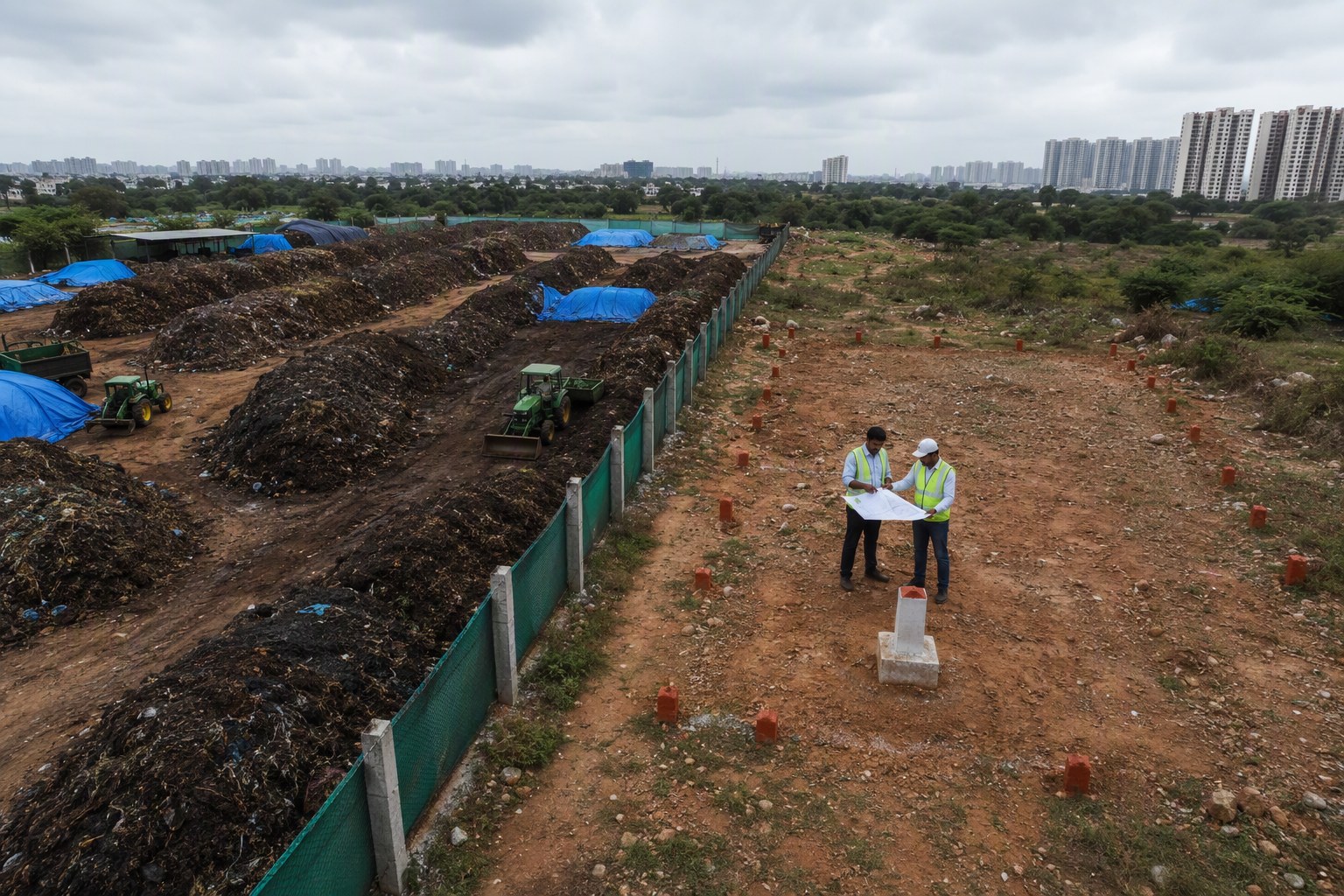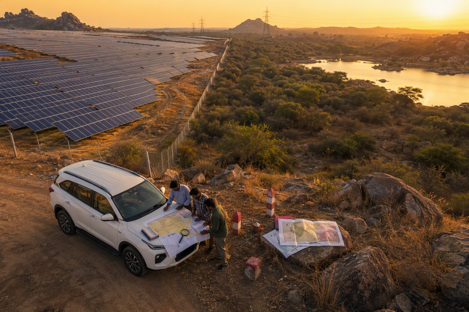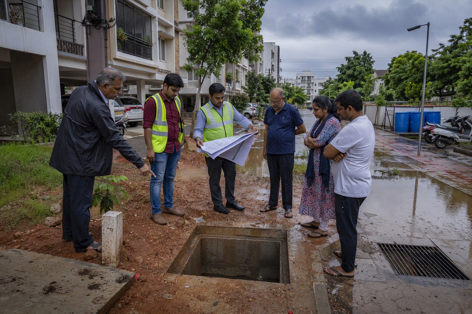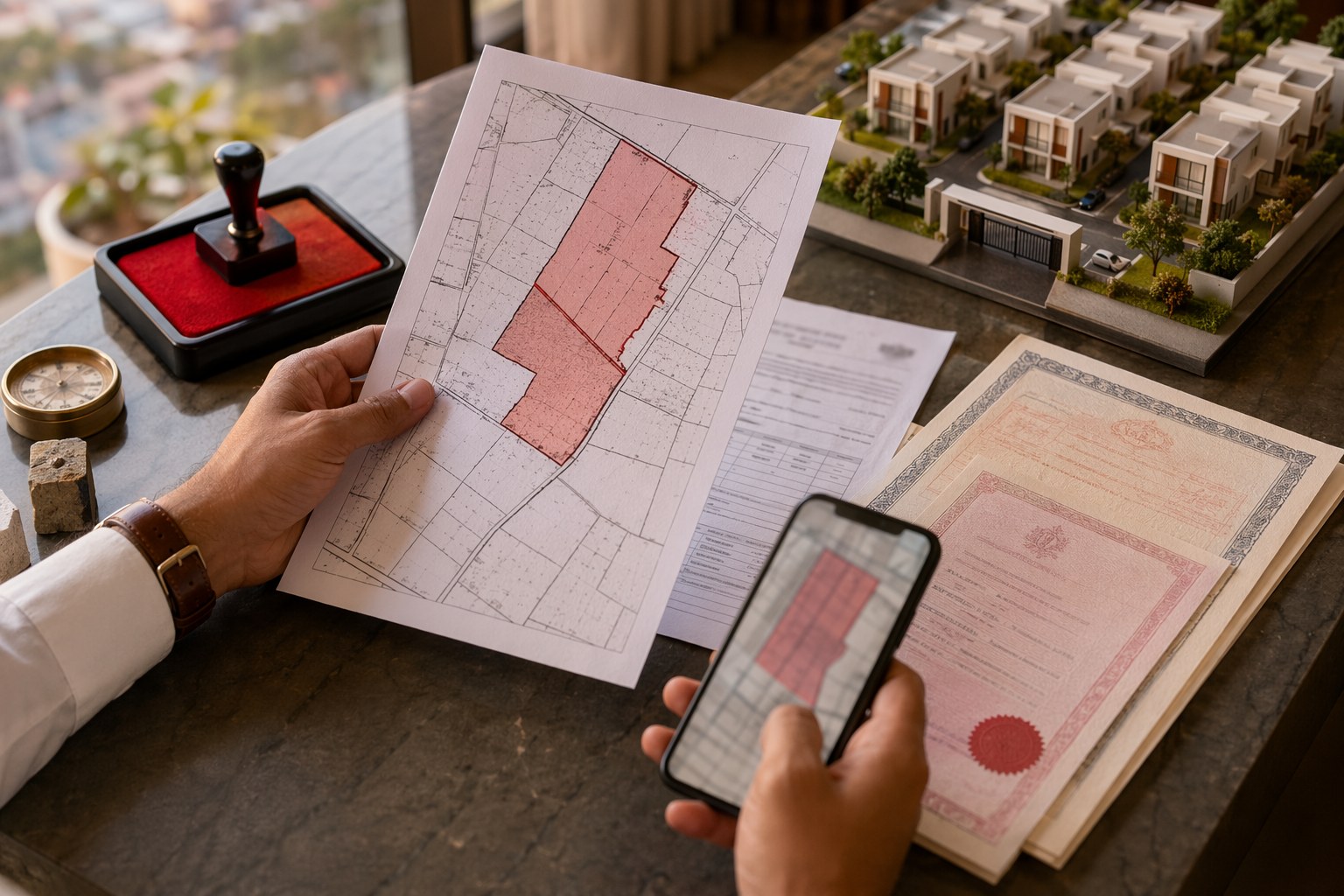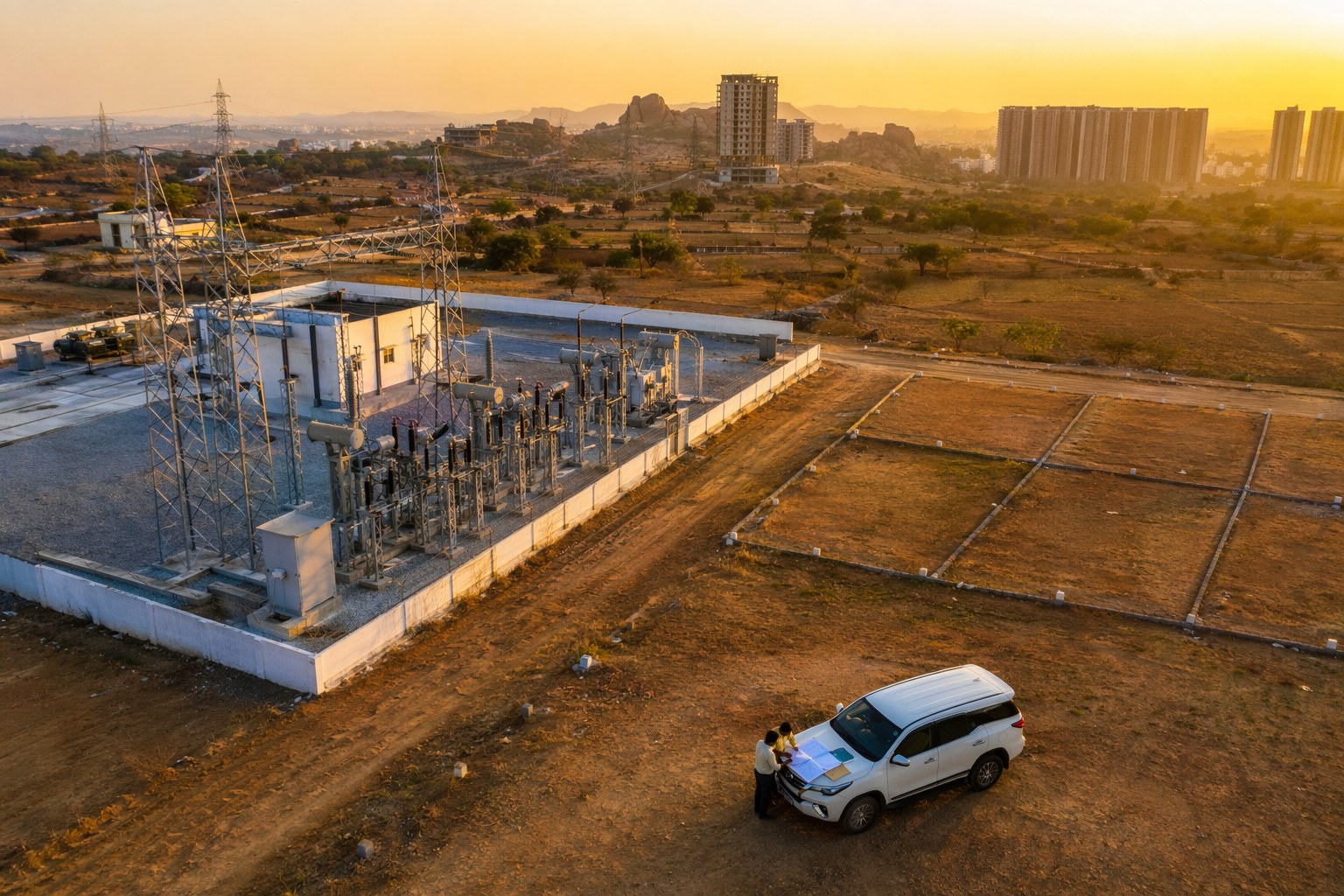



Telangana Flood Maps are likely to become a serious homebuying filter in Hyderabad and the wider state, not just an environmental document kept inside government files. For buyers checking flats in Narsingi, plots in Mokila, villas near Osman Nagar, or resale homes around Musi-influenced pockets, flood-risk mapping may soon sit next to title verification, EC search, RERA checks and Section 22-A screening.
The immediate takeaway is simple: a clean title is not enough if the land sits in a water pathway, low-lying layout, nala buffer, lake full tank level zone, or a storm-water choke point. In our experience, buyers usually ask for link documents, pahani, Dharani status, layout approval and loan eligibility. The next smart question should be: what does the flood map say?
Telangana Flood Maps: why homebuyers should treat flood risk like title risk
Hyderabad has seen repeated urban flooding in different forms: sudden waterlogging in dense colonies, nala overflows in low-lying localities, lake spillover during heavy spells, and basement flooding in newer apartment clusters. The issue is not limited to old city areas or Musi river stretches. Growth corridors such as Gachibowli, Narsingi, Manikonda, Tellapur, Kollur, Bachupally, Kompally and parts of Uppal have their own drainage stress points.
That is why updated flood-risk mapping matters. Once government agencies or planning bodies publish sharper ward-wise, mandal-wise or catchment-wise flood layers, buyers can compare the map with survey numbers, layouts and apartment locations before paying an advance. This can change how people shortlist properties.
Our view is blunt: flood-risk visibility can save buyers from making an emotional purchase in a location that looks premium in summer but behaves differently during a heavy monsoon.
Hyderabad buyers already understand legal risk because of Dharani, prohibited lands and EC searches. Telangana has 147,934 prohibited properties under Section 22-A, which shows how large the official risk database already is on the legal side. Flood mapping can become the environmental equivalent of that caution list: not always a ban, but definitely a warning signal.
Telangana Flood Maps and the new due diligence checklist
For a buyer, the practical question is not whether a property is beautiful. It is whether it is safe, legal, financeable and resale-friendly. Flood-risk mapping adds one more layer to this decision.
Here is how I would read a property file now:
- Title and ownership: Check link documents, sale deed chain, pattadar details, pahani and Dharani records where applicable.
- Encumbrance: Run an Encumbrance Certificate Search for mortgage, sale, gift, partition or court-related entries.
- Prohibited status: Use the Section 22-A Prohibited Property Check before paying token advance.
- Survey identity: Confirm the exact survey number through the Survey Number Finder, especially for open plots and villa land.
- Planning and land use: Check whether the land use supports the proposed project using the Land Use Zone Finder.
- Flood exposure: Compare the property location with official flood maps, lake buffers, nala buffers, storm-water lines and past waterlogging reports.
This is where many buyers make a mistake. They check the SRO value and stamp duty, but they do not ask why a slightly cheaper plot in the same mandal is available at a discount. Sometimes the answer is access. Sometimes it is litigation. Sometimes it is water.
Where flood maps can affect Hyderabad property decisions
The impact will not be equal across the city. High-ground locations with planned drainage may face limited buyer concern. Low-lying pockets, encroached nalas and lake-adjacent layouts may see sharper questioning from banks, insurers and end users.
In West Hyderabad, areas like Narsingi, Kokapet, Financial District, Tellapur, Osman Nagar and Kollur command strong buyer interest. Kokapet Neopolis land auctions crossed high numbers in 2023, with one parcel touching about Rs 100.75 crore per acre and average bids above Rs 70 crore per acre. That pricing power shows the market appetite. Still, premium pricing does not cancel environmental checks. In fact, high ticket size demands stricter verification.
In North Hyderabad, Kompally, Gundlapochampally, Bachupally, Mallampet and Bowrampet have seen fast apartment and villa growth. Buyers here should watch drainage slopes, road levels and layout storm-water design. A flat on the third floor may look safe, but parking, transformer rooms, cellar ramps and approach roads can decide everyday liveability during rains.
In East Hyderabad, Uppal, Nagole, Peerzadiguda, Pocharam and Ghatkesar have a mix of older habitations, new layouts and industrial influence. Flood mapping can help buyers separate genuinely safe corridors from plots that only look attractive because the price per square yard is lower.
Telangana Flood Maps may influence banks, insurers and resale value
Once flood-risk data becomes easy to access, banks may start asking sharper questions for project approvals. Insurers may price coverage differently for basements, compound walls, electrical rooms and common infrastructure. Resale buyers may ask for flood history just like they now ask for occupancy certificate and RERA number.
We have seen this pattern earlier with legal checks. Earlier, many buyers were satisfied if the seller produced a sale deed. Today, serious buyers check EC, Dharani, layout approval, RERA and SRO jurisdiction. The same shift can happen with flood maps.
For apartment buyers, the key checks should include basement levels, storm-water outlet, rainwater harvesting pits, lake or nala distance, road height compared with the site, and whether the project has an Occupancy Certificate. For open plot buyers, the checks are even more serious because the land may be part of a natural drain, tank bed influence zone or low-lying agricultural conversion pocket.
| Buyer check | Why it matters | Useful tool |
|---|---|---|
| EC and document history | Shows registered transactions and loan entries | EC Search |
| Government market value | Helps estimate stamp duty and compare pricing | Market Value / Guideline Value Search |
| Stamp duty outflow | Telangana sale deed cost is commonly calculated around stamp duty, transfer duty and registration fee | Stamp Duty Calculator |
| Project registration | Checks RERA status for eligible projects | RERA Project Lookup |
| Flood exposure | Shows environmental and monsoon risk | Official flood map and local inspection |
What buyers should ask before paying advance
A good broker will not get offended if you ask flood questions. A good developer will have answers. If the seller dismisses the topic by saying water never comes here, still verify. Local tea shops, security guards, nearby apartment associations and old residents often know the truth better than glossy brochures.
Ask these questions in plain language:
- Was the road or cellar flooded in the 2020 Hyderabad floods or in later heavy rains?
- Is there any nala, lake, kunta, cheruvu or storm-water drain within visible distance?
- What is the level difference between the main road and the project site?
- Does the layout approval show drainage channels and open space reservation clearly?
- Is the survey number matching across sale deed, pahani, Dharani and layout plan?
- Which SRO handles the registration? You can confirm it through Find Your SRO Office.
For larger plots and villa projects, also check road width, because narrow approach roads worsen flood response and emergency access. The Road Width Check is useful before you assume future development potential. If you are buying land for construction, the FSI/FAR Calculator can help you understand buildable area, but remember that permission potential is different from monsoon safety.
How this changes the Hyderabad property conversation
The old buyer conversation was: Is the title clear? What is the rate? Is loan available? The new conversation should be: Is the title clear, is the land legally registrable, is the price justified, and is the site climate-safe?
This is not fear-mongering. It is market maturity. Hyderabad’s real estate market is now too valuable for casual checks. A 2BHK in a good corridor may cost Rs 80 lakh to Rs 1.5 crore. Villas in Tellapur, Narsingi, Mokila and Kollur can easily move into multi-crore budgets. At those numbers, ignoring flood risk is not smart.
Buyers should use flood maps as a screening tool, not as the only decision-maker. A mapped risk zone does not automatically mean the property is unusable. It may mean higher plinth levels, better drainage design, no basement parking, stronger compound drainage or simply a lower price expectation. But if a seller refuses documents and avoids flood questions, that is a red flag.
Verified.RealEstate view on Telangana Flood Maps
Telangana Flood Maps can become one of the most practical sustainability checks for homebuyers. Not a fashionable ESG word, but a real household safety tool. We believe the best property decisions in Telangana will combine three layers: legal verification, planning approval and environmental risk.
Before buying, run the basic online checks, visit the site during or soon after rain if possible, speak to local residents, and compare the survey number with official records. A property that passes EC, RERA, Section 22-A, guideline value and flood-risk checks will always feel more secure than one sold only on location hype.
Frequently Asked Questions
Are Telangana Flood Maps mandatory for property purchase?
At present, buyers usually rely on title, EC, RERA, layout and revenue records. Flood maps may not be mandatory for every purchase, but they are becoming a sensible due diligence check, especially in low-lying and lake-adjacent areas.
Which Hyderabad areas should buyers check more carefully for flood risk?
Buyers should be careful in low-lying pockets, nala-side layouts, lake buffer areas and fast-growing zones with uneven drainage. Parts of Narsingi, Osman Nagar, Tellapur, Kollur, Kompally, Bachupally, Uppal and Nagole need site-specific checks rather than blanket assumptions.
Does a flood-risk mark mean I should not buy the property?
Not always. It means you should ask deeper questions about plinth height, drainage, cellar safety, road level, lake or nala distance and past flooding. The risk may be manageable, but it should reflect in design, price and decision-making.
What legal checks should I do along with flood-risk review?
Check EC, title chain, Dharani or revenue records, Section 22-A prohibited status, RERA registration where applicable, SRO jurisdiction, guideline value and layout approval. Flood-risk review should sit alongside these checks.