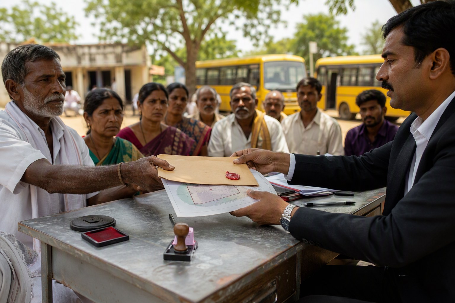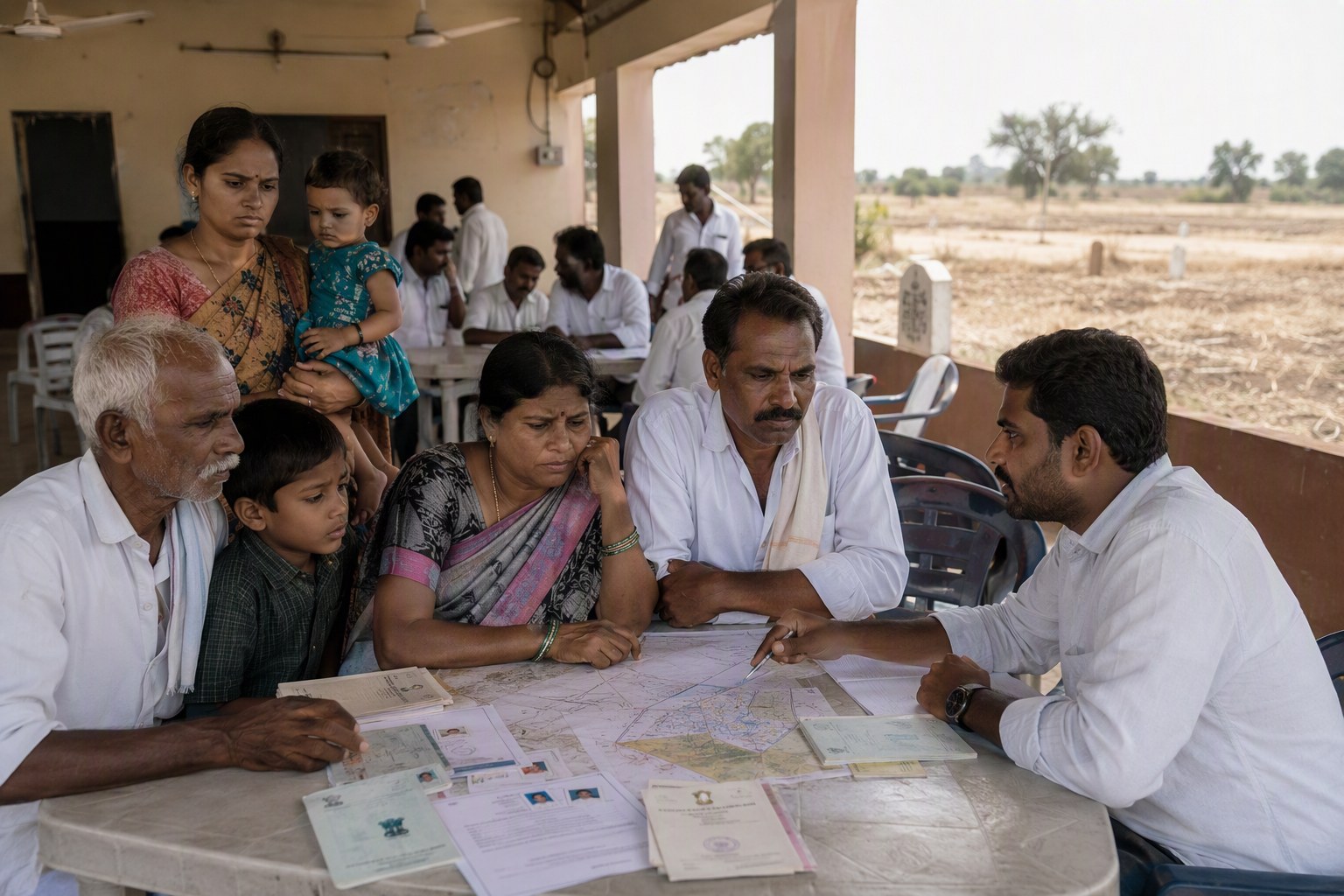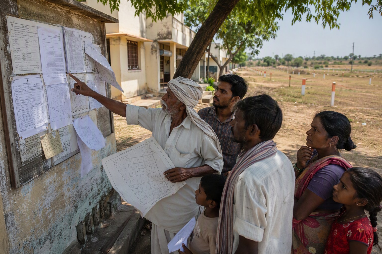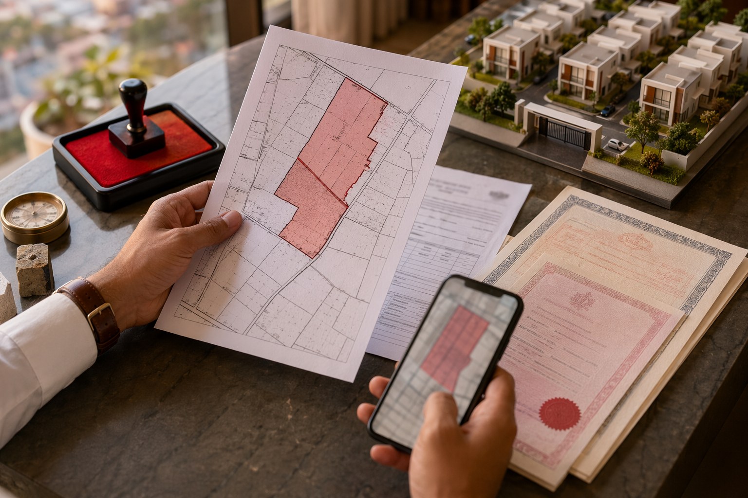


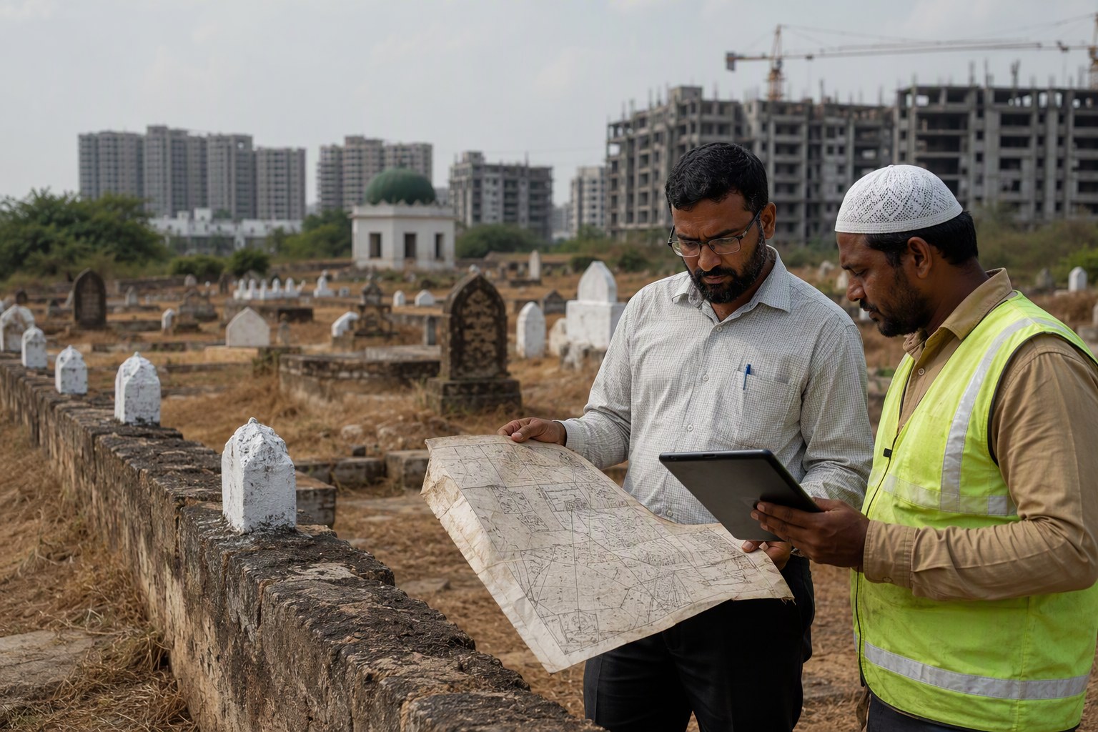
Burial Ground Mapping of cremation sites, kabristans and traditional community burial lands can become a practical way to reduce title confusion in Telangana, especially when checked against the state’s 30,76,153 prohibited property records under Section 22-A. For families, colony associations, temple committees, masjid committees, local bodies and buyers, this is not just a records exercise. It can decide whether a land parcel is saleable, mortgageable, developable, or better left undisturbed.
As per latest IGRS data available in our database, Telangana has 3,076,153 prohibited property entries. These are Section 22-A records, broadly used to flag lands where registration is restricted or prohibited. When burial grounds and cremation sites are not properly mapped with survey numbers, village names, mandal limits and SRO jurisdiction, confusion starts at the worst possible time — road widening, drainage work, community hall proposals, layout regularisation, mutation, bank loan processing, or family partition.
Burial Ground Mapping and Telangana 22-A Records: Why This Matters Now
In Hyderabad and surrounding districts, land identity is rarely simple. A site may be known locally as “old smashan vatika”, “Muslim graveyard”, “Hindu burial ground”, “Christian cemetery”, “samadhi land”, “waqf land”, “endowment land”, “poramboke”, “assigned land”, or just by an old village name that no longer matches the present municipal boundary.
We’ve seen this often around fast-changing localities such as Kokapet, Narsingi, Tellapur, Gachibowli, Miyapur, Kukatpally, Uppal, Hayathnagar, Shamshabad, Shamirpet, Ghatkesar and Medchal. A parcel that older residents can identify from memory may not be obvious on paper unless the survey number, pahani trail, Dharani status, SRO records and local body maps speak the same language.
That is where burial ground mapping can help. If every cremation site or burial ground is geo-referenced and matched with village, mandal, survey number, extent as per record, present use and Section 22-A status, communities can identify disputes before they become expensive. It also helps officials avoid accidental permissions on sensitive land.
Our view is simple: before any civic upgrade or documentation work starts near a burial ground, the first check should be land identity, not construction feasibility.
Burial Ground Mapping Can Reduce Title Confusion Before Local Upgrades
Many disputes do not begin with fraud. They begin with incomplete records. A colony association may request a road, a ward office may propose a compound wall, or a family may approach the SRO for registration of an inherited plot. Only then somebody says, “This survey number is under 22-A,” or “part of this land is a burial ground.” By then, tempers rise and paperwork becomes defensive.
Mapping burial grounds against Telangana’s 30,76,153 prohibited property records can create an early warning layer. It can show where registration is already restricted, where a community-use site overlaps with private claims, and where a survey number needs clarification from revenue authorities.
For buyers, the risk is direct. If a plot near an old village settlement in Gandipet mandal, Serilingampally mandal, Rajendranagar mandal, Hayathnagar mandal, Ghatkesar mandal or Shamshabad mandal has vague boundaries, never depend only on the seller’s word. Check the survey number, EC, market value record, SRO jurisdiction and 22-A status. A small mistake in village name can send you to the wrong record.
What Section 22-A Means for Burial Grounds and Community Lands
Section 22-A is used to restrict registration of certain categories of properties. In practical terms, if land appears in prohibited property records, the SRO may not proceed with registration in the usual manner. The entry itself should be examined carefully because land categories can differ — government land, endowment land, waqf-related land, assigned land, protected land, or other notified categories.
For burial grounds and cremation sites, the issue becomes sensitive because use, ownership and sentiment are all involved. Some lands are actively used. Some are old and partially encroached. Some appear in village memory but not in modern layouts. Some may be shown in revenue records, but the physical site may have shifted due to road formation or nala alignment.
In our experience, the best approach is not to argue from emotion alone. Build the record file first. That means:
- Village name as per revenue record, not only locality name.
- Mandal and district details after reorganisation, where applicable.
- Survey number and sub-division number.
- Old pahani or adangal references, if available.
- Dharani land status where relevant.
- SRO jurisdiction and registration history.
- EC entries and link documents.
- Local body permissions, if any compound wall, shed or cremation facility exists.
- Any government, waqf, endowment or community committee correspondence.
For initial checks, readers can use the Section 22-A Prohibited Property Check, Survey Number Finder, and Encumbrance Certificate Search. These tools do not replace official verification, but they help you ask the right question at the SRO or revenue office.
Burial Ground Mapping: What Communities Should Check First
If your basti, village, apartment association or religious committee is trying to protect an existing burial ground or cremation site, start with a clean checklist. Do not wait for a road work notice or private fencing attempt.
| Check | Why it matters | Where to begin |
|---|---|---|
| Survey number | Confirms land identity beyond local names | Revenue record, Dharani, old pahani |
| Section 22-A status | Shows if registration is restricted | IGRS/SRO record check |
| EC history | Reveals past transactions or claims | SRO and EC search |
| Market value record | Helps identify village and SRO mapping | Ready reckoner/guideline value check |
| Land use and physical access | Useful before compound wall or civic work | Municipal and planning records |
The Market Value / Guideline Value Search is useful to confirm official locality and village mapping. If a registration or family settlement is being discussed nearby, the Stamp Duty Calculator can help estimate statutory costs, but only after the land’s status is clear. For jurisdiction confusion, use Find Your SRO Office.
Hyderabad Growth Corridors Need Cleaner Community Land Records
The pressure is highest in areas where old revenue villages are now urban neighbourhoods. In Serilingampally, parts of Gachibowli, Kondapur, Hafeezpet and Miyapur have seen rapid conversion from village land patterns to apartment and commercial development. In Gandipet and Rajendranagar, land near Kokapet, Narsingi, Manikonda and Puppalaguda often carries layers of old village references, layout approvals and private claims.
On the eastern side, Uppal, Nagole, Hayathnagar, Abdullapurmet and Ghatkesar have their own mix of old habitations and expanding layouts. North of the city, Medchal, Shamirpet, Kompally and surrounding gram panchayat areas are seeing similar pressure. In such locations, a burial ground may look like vacant land to an outsider, while locals may know its use for decades.
That gap between local memory and official mapping is where conflict enters. Good mapping can reduce it. It can also help planners mark access roads, buffer areas, drainage lines and service connections without disturbing sensitive sites.
How Buyers Should Read 22-A Risk Near Burial Grounds
For a buyer, a burial ground nearby is not automatically a legal defect. Many clear-title properties exist near cremation grounds or cemeteries. The issue is overlap. Is the plot itself part of a prohibited survey number? Is the approach road passing through community land? Is the seller showing one boundary while the old pahani or village map suggests another?
Before paying token advance in such cases, I would insist on four things. First, survey number confirmation. Second, EC review. Third, Section 22-A check. Fourth, physical inspection with neighbouring land references. If the property is part of a project, run a RERA check through RERA Project Lookup. If it is an independent plot or house, use Property Verification Tool to structure your due diligence.
Do not rely only on Google Maps pin location, brochure boundaries or a broker’s WhatsApp sketch. Telangana land records are survey-number driven. Locality names like “near airport road”, “close to ORR”, “beside old village”, or “opposite graveyard” are not enough for legal clarity.
What Officials and Local Bodies Can Do Better
At the government level, the practical step is to connect burial ground mapping with existing prohibited property datasets, municipal GIS layers, revenue village maps and SRO records. Even a basic public-facing status note can reduce repeated disputes. For example, if a cremation ground in a village is already reflected under a prohibited category, citizens should not discover it only when a document is rejected at registration stage.
Local bodies can also mark these lands before undertaking road works, sanitation works, street-lighting, fencing or public facility construction. The ward office may know the location, but the SRO may know it differently. The mandal revenue office may have another description. Bringing these together is the real task.
For community representatives, the advice is to document without delay. Collect old photographs, committee records, tax or maintenance receipts if any, revenue extracts, correspondence with panchayat or municipality, and statements from elders. Then align them with survey numbers. Sentiment is strong, but paper protects.
Burial Ground Mapping Should Become Part of Property Due Diligence
The wider lesson from Telangana’s 30,76,153 prohibited property records is that land due diligence cannot be casual. Burial grounds and cremation sites are only one category of concern, but they touch families and communities directly. If mapped properly, they can reduce litigation, prevent wrong registrations, and help local upgrades happen with less friction.
For Hyderabad buyers, the message is clear: when a property is near an old village settlement, graveyard, cremation site, temple land, waqf land or government land, slow down. Check the record before discussing price. The ready reckoner value, EC, SRO office and Section 22-A status must match the property story being sold to you.
We have seen many title problems become visible only after people spend money on agreements, borewell work, boundary walls or bank processing. Burial ground mapping, if used properly, can shift that discovery to the beginning. That is better for buyers, better for communities, and better for officials who otherwise face avoidable disputes.
Frequently Asked Questions
What is Burial Ground Mapping in Telangana property records?
Burial Ground Mapping means identifying cremation sites, cemeteries and traditional burial lands with their village, mandal, survey number, physical boundary and record status. When matched with Section 22-A records, it can show whether registration restrictions or community land claims exist.
How many prohibited property records are there in Telangana?
As per the latest IGRS data available in our database, Telangana has 30,76,153 prohibited property entries under Section 22-A.
Can I buy land near a burial ground or cremation site?
Yes, but only after checking whether your specific plot overlaps with a prohibited survey number or community land. Verify the survey number, EC, SRO jurisdiction, guideline value record and Section 22-A status before paying any advance.
Which tools can help me check 22-A and land records?
You can start with the Section 22-A Prohibited Property Check, Survey Number Finder, Encumbrance Certificate Search, Market Value / Guideline Value Search and Find Your SRO Office tools on Verified.RealEstate.
Why do old village names create title confusion in Hyderabad?
Many Hyderabad localities grew out of older revenue villages. The market may use names like Kokapet, Gachibowli or Uppal, but legal records depend on village, mandal, survey number and SRO jurisdiction. A mismatch can lead to wrong verification.