

Telangana May Add Geo-Tagged Photos to Property Registrations: What Buyers Should Know
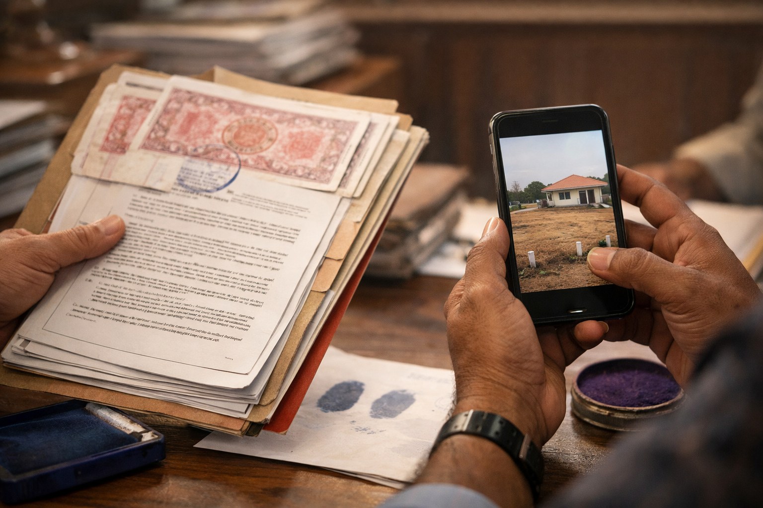
Telangana may add geo-tagged photos to property registrations, a move that could make sale deeds harder to manipulate and easier to verify on ground. The proposal, if taken forward by the registration department, is expected to capture location-tagged photographs of the property, parties and possibly nearby boundaries during registration. For buyers in Hyderabad, Rangareddy, Medchal-Malkajgiri, Sangareddy and fast-growing mandals around ORR, this is not a small procedural change. It directly touches three weak spots we see often: identity mismatch, wrong survey number claims and boundary confusion.
The timing matters. Telangana buyers are already dealing with 147,934 properties listed under Section 22-A prohibited categories, where registration may be barred due to government land, assigned land, endowment land, wakf claims, court issues or other restrictions. In such a market, geo-tagged evidence can become one more layer of protection before money changes hands.
Our view is simple: a photograph with location data will not replace title verification, but it can reduce casual fraud and force better discipline at the SRO counter.
Telangana May Add Geo-Tagged Photos to Property Registrations: Why This Proposal Matters
At present, a registered sale deed proves that a transaction was recorded at the Sub-Registrar Office. It does not automatically prove that the land shown to the buyer is the same land described in the document. That gap is where many disputes start.
We have seen cases in Shankarpally mandal, Patancheru, Ghatkesar, Ibrahimpatnam, Maheshwaram and Chevella where the buyer visits one plot, the agreement mentions another survey number, and the final sale deed carries boundaries copied from an old document. In apartments, the issue may be different: wrong flat number, mismatch in parking, missing UDS details or confusion between sanctioned block names and marketing names.
Geo-tagged photos can create a digital trail showing where the property was physically identified during registration. If the system records latitude, longitude, date, time and images, it becomes harder for a seller or middleman to casually substitute one land parcel for another.
How Geo-Tagged Property Registrations Can Reduce Title and Boundary Mismatches
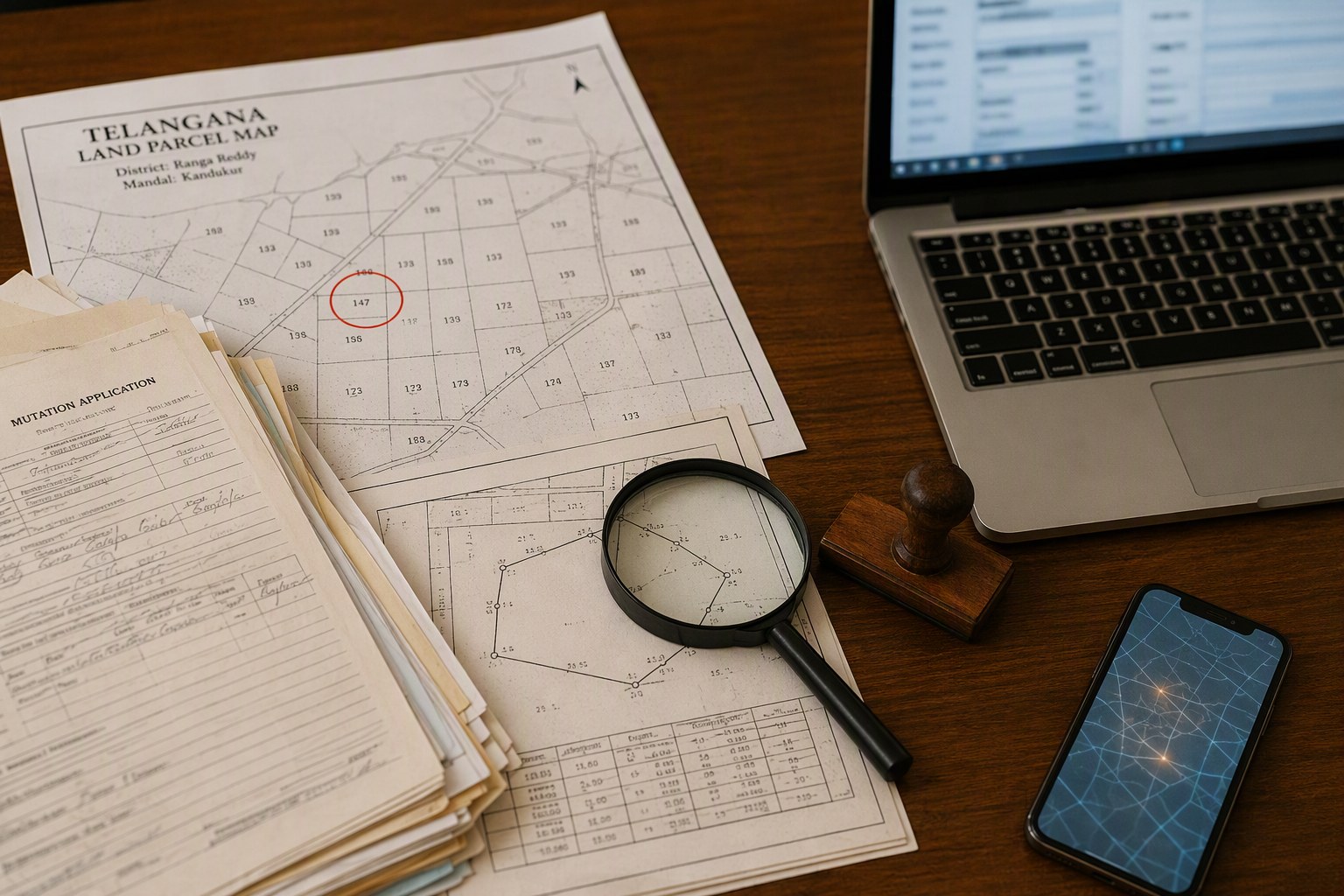
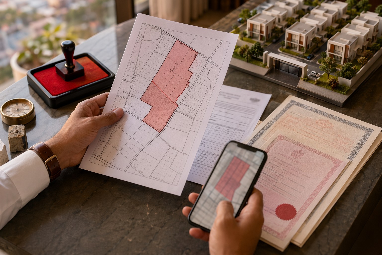
The biggest benefit is not just the photo. It is the combination of photo, map location and registration record. When matched with survey number, village, mandal, door number or plot number, geo-tagged data can support quicker scrutiny.
| Common issue in Telangana transactions | How geo-tagged photos may help |
|---|---|
| Buyer shown land in one location, deed mentions another survey number | Location-tagged image can expose distance or mismatch at registration stage |
| Boundary descriptions copied from old pahanis or link documents | Field photo may show road, compound wall, neighbouring plot or physical access |
| Impersonation by fake parties or GPA misuse | Photos of parties at the location and SRO can support identity audit |
| Prohibited land slipping into private sale discussions | Geo-location can be compared with Section 22-A and government land datasets |
| Apartment buyers confused by project names and tower names | Images can connect deed details with actual block, site and approach road |
For land buyers, the critical check remains the survey number. Before paying an advance, use the Survey Number Finder and cross-check village and mandal details. If the land falls near a lake buffer, road widening stretch, forest boundary or assigned land pocket, a photo alone will not save the transaction.
Section 22-A Risk: 147,934 Prohibited Properties Are the Bigger Warning
The number buyers should not ignore is 147,934. That is the count of prohibited properties under Section 22-A in Telangana. These are properties where registration may be restricted or blocked. In practice, families still get tempted because prices look attractive, the seller says only mutation is pending, or a broker claims he can manage the SRO.
In our experience, these phrases are red flags. A genuine property should survive basic checks: dharani status, pahani history where applicable, EC, link documents, mutation flow, layout approval and SRO jurisdiction. If any one of these is weak, buyers should slow down.
Before token advance, run a Section 22-A Prohibited Property Check. It is one of the first checks we recommend for open plots and agricultural land in areas like Moinabad, Shamshabad, Shabad, Kandukur, Medchal, Keesara and Hayathnagar. These are active land markets, but they also have old assignment, ceiling, government and layout regularisation issues.
What Buyers Should Check Before Registration in Telangana
Geo-tagging may become a useful control, but buyers should not treat it as a title certificate. Registration is only one stage. The homework starts much earlier.
1. Confirm the correct SRO
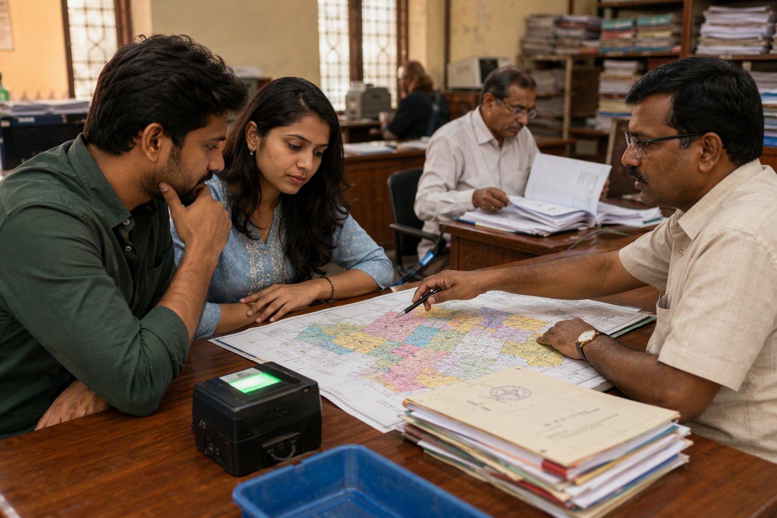
Different villages and localities fall under different Sub-Registrar Offices. A property in Tellapur, for example, may not be handled the same way as one in Gachibowli or Nallagandla. Use Find Your SRO Office before preparing documents and stamp duty.
2. Check market value and stamp duty
Telangana registrations are based on official market value, commonly called guideline value or ready reckoner value. Before negotiating, check the Market Value / Guideline Value Search and estimate charges through the Stamp Duty Calculator. This avoids last-minute surprises at challan payment stage.
3. Pull the Encumbrance Certificate
An EC will show registered transactions such as sale deeds, mortgages, gifts, releases and court attachments where recorded. It is not perfect, but it is mandatory due diligence. Use the Encumbrance Certificate Search and compare names, document numbers and property description with link documents.
4. Verify layout and project approvals
For apartments, villas and plotted developments, check whether the project is registered under RERA where applicable. The RERA Project Lookup helps buyers confirm promoter details, project status, promised completion date and registered plans. For open plots, verify HMDA, DTCP or municipal permissions as per location.
5. Track future changes
If you are still waiting for registration, or if you have inherited land where family members may transact without telling everyone, keep watch through the Property Change Tracker. It is useful for NRIs and joint family properties.
Where Geo-Tagged Registration Will Help Most in Hyderabad Region
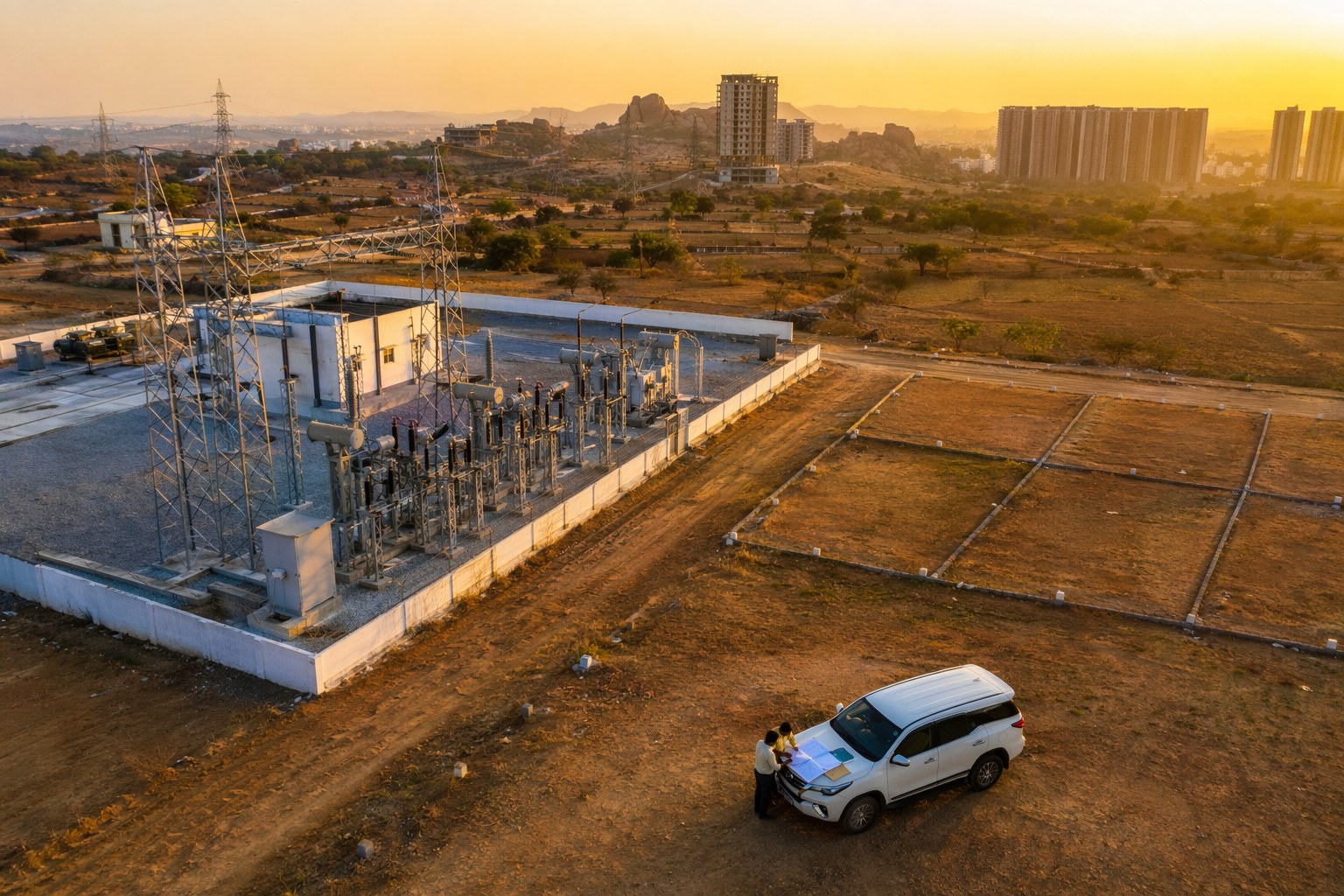
The proposal will matter most in peripheral growth corridors where land conversion and layout activity is high. We are talking about Mokila, Kollur, Shankarpally, Velimela, Patancheru, Isnapur, Adibatla, Tukkuguda, Maheshwaram, Ghatkesar, Yadagirigutta road pockets and Medchal side villages. These markets see genuine demand, but they also see fast flipping, GPA-based transactions and boundary disputes.
Inside the city, the impact may be different. In Banjara Hills, Jubilee Hills, Himayatnagar, Ameerpet, Kukatpally or Secunderabad, property identification is usually by door number, municipal assessment, flat number or premises number. Geo-tagged photos can still help where old bungalows are split, redevelopment agreements are signed, or inherited properties have multiple claimants.
For apartment buyers in financial district belt areas such as Nanakramguda, Kokapet, Narsingi and Puppalaguda, geo-tagged images may help connect the registration document with the exact project site. But buyers must still check UDS, approved floor plans, occupancy certificate status and RERA disclosures.
Telangana May Add Geo-Tagged Photos to Property Registrations, But What Are the Limits?
There are practical questions the government will need to answer. Who will take the photo? Will it be the SRO staff, a licensed document writer, the parties, or a field official? Will photographs be taken at the property site or only at the registration office? Will the system integrate with Dharani, municipal records and cadastral maps?
Accuracy is another issue. Mobile GPS can vary, especially in dense urban lanes or rural lands without clear physical markers. If a buyer stands on a neighbouring plot and clicks a photo, the system must have checks to prevent false confidence. A geo-tag is useful only when it is tied to a correct survey number, village map and official land record.
Privacy will also come up. Property photos, party images and location data are sensitive. Telangana will need clear rules on who can access these records, how long they are stored, and whether they can be used in disputes or court proceedings.
Our Take for Buyers and Sellers
We support the idea, provided it is implemented with proper audit trails and not treated as another checkbox. Telangana’s registration system has improved over the years, but property fraud has also become more creative. Geo-tagged photos can make the process more evidence-based.
For buyers, the message is clear: do not wait for the government to catch every problem. Verify before you pay. Use the Property Verification Tool, check Section 22-A status, pull EC, confirm SRO, match guideline value and inspect the site with a local surveyor if land is involved.
For sellers and developers, clean documentation will become even more valuable. If your title, boundaries and approvals are in order, geo-tagging should actually speed up trust. If there are old gaps, this is the right time to correct them before entering into sale agreements.
Frequently Asked Questions
Will geo-tagged photos become mandatory for Telangana property registration?
The government is considering the idea, but final rules, process and rollout dates are not yet confirmed. Buyers should continue doing normal title checks.
Can a geo-tagged photo prove clear title?
No. It can support property identification, but clear title depends on link documents, EC, pahani or municipal records, mutation, approvals and absence of legal restrictions.
Why is Section 22-A checking important in Telangana?
Telangana has 147,934 prohibited properties under Section 22-A. If a property falls in this list, registration may be blocked or disputed, so buyers must check before paying advance.
Which buyers will benefit most from geo-tagged registration?
Open plot and agricultural land buyers in fast-growing mandals around Hyderabad may benefit most because survey number, boundary and location mismatches are common there.
What should I verify before visiting the SRO?
Check Section 22-A status, EC, guideline value, stamp duty, SRO jurisdiction, survey number, layout approval and RERA registration where applicable.