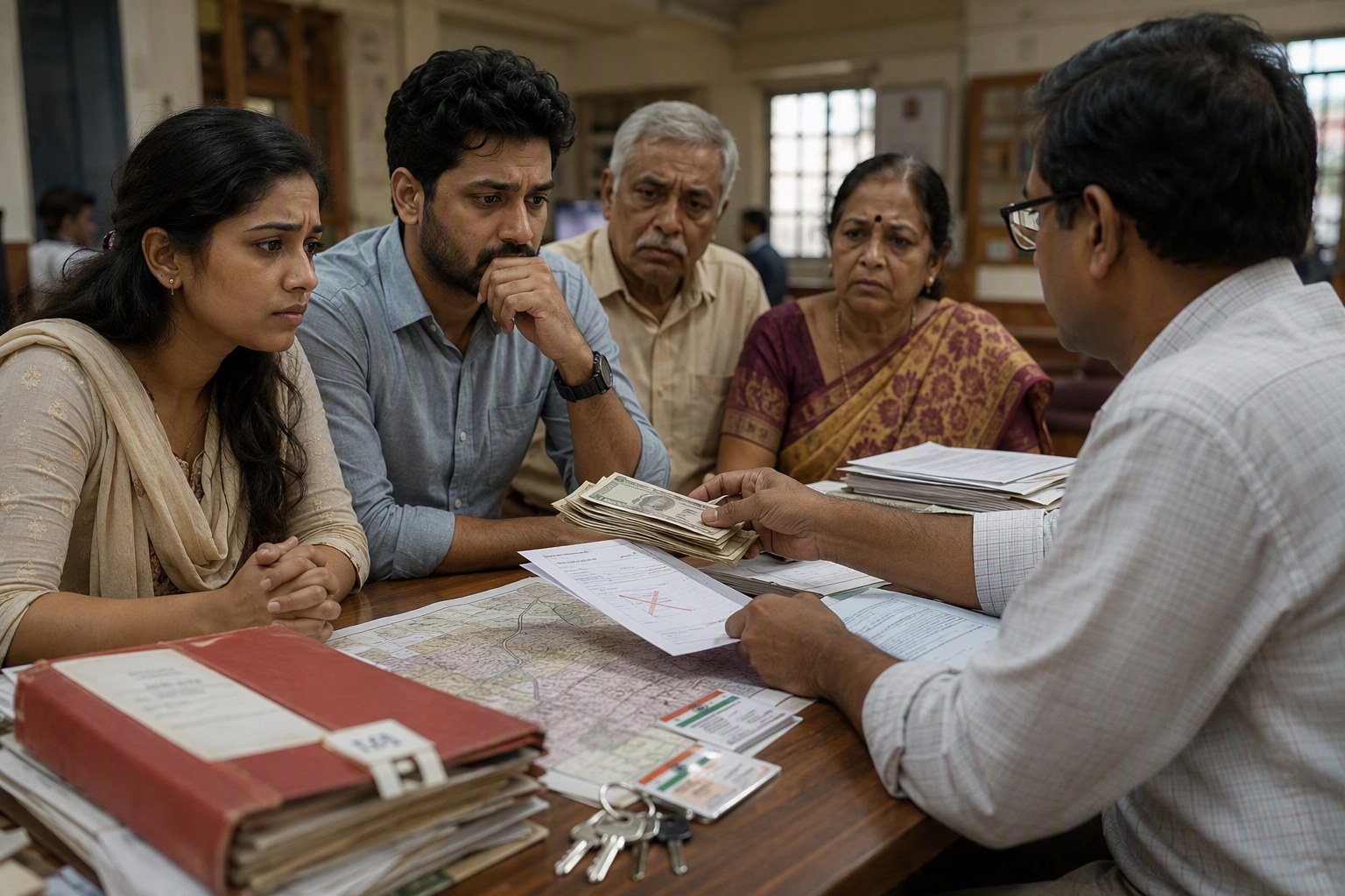
GIS Boundary Checks may become the next serious filter in Telangana land registrations, especially because 3,076,153 properties are already sitting in the prohibited list under Section 22-A as per latest IGRS data. For buyers in Hyderabad, Rangareddy, Medchal-Malkajgiri and the fast-growing mandals around ORR, this is not a small back-office change. It can decide whether a sale deed moves at the SRO counter or gets stuck before registration.
The likely shift is simple: instead of checking only document entries, survey numbers and prohibited-property lists, registration systems may increasingly compare a property’s claimed boundary with GIS layers. That means the land shown in a deed, pahani, Dharani entry, layout plan or old link document may be checked against a map-based boundary. In our experience, that is where many Telangana property disputes quietly start.
GIS Boundary Checks: what may change at the SRO counter
Right now, most buyers focus on the EC, link documents, market value, stamp duty and whether the survey number appears in the prohibited list. Those checks are still necessary. But GIS Boundary Checks can add a physical-location layer to the process.
For example, if a seller says the plot is in one survey number in Narsingi village of Gandipet mandal, the system may be able to compare that claim with a mapped parcel. If the plotted boundary overlaps government land, assigned land, lake area, road margin, endowment land or a different survey number, the registration may be questioned. This is especially relevant in places like Kokapet, Narsingi, Tellapur, Gachibowli, Shamshabad, Shankarpally, Moinabad, Maheshwaram, Abdullapurmet and Medchal, where land values and old revenue records often travel together in one transaction file.
Buyers can start with basic checks before paying an advance. Use the Section 22-A Prohibited Property Check for the survey number, then verify location details through the Survey Number Finder. If you already have a document number, the Encumbrance Certificate Search and EC Analyzer can help you read the transaction trail more clearly.
GIS Boundary Checks and the 3,076,153 prohibited-property problem
The size of the prohibited-property list is the real news here. Telangana has 3,076,153 prohibited properties in government records under Section 22-A. That number shows how large the registration-risk universe has become. Every entry may not be a disputed private plot, and every prohibited entry may not affect a buyer directly. Still, when such a large number exists in the system, manual checking alone is not enough for a modern registration process.
Section 22-A entries can cover different categories, including government lands, assigned lands, endowment-related lands and other properties restricted from registration. In ground reality, buyers often discover the problem late. The token amount is paid, the agreement is drafted, the loan is in process, and only then someone checks the prohibited list or asks the SRO clerk. That approach is risky.
My view is clear: GIS checking should not be seen as an extra burden. For genuine buyers, it can reduce blind spots. For sellers with unclear boundaries, it may force proper correction before the deal reaches the SRO.
Hyderabad’s western corridor gives good examples. In Gachibowli and Serilingampally mandal, old agricultural survey numbers have seen repeated conversion, plotting, apartment development and redevelopment. In Tellapur and Ramachandrapuram mandal, layout boundaries, access roads and village limits can become deal-breakers if not verified. In Shamshabad and Maheshwaram, many buyers chase farmhouse plots, HMDA layouts and open lands, but the land-use and survey-position checks are often weak.
What a GIS layer can catch that paper checks may miss
A sale deed can mention boundaries such as north by road, south by neighbour’s land, east by open plot and west by nala. That style of drafting is common across Telangana. But if the actual map shows that the plot is touching a different survey number or entering a buffer area, the paper boundary is not enough.
GIS-based checks can help flag:
- Mismatch between survey number and actual ground location.
- Overlap with Section 22-A prohibited land entries.
- Plots falling partly outside an approved layout boundary.
- Access road claims that do not match mapped road width.
- Difference between revenue village name and registration document description.
- Possible conflict between Dharani record, pahani details and SRO document trail.
This matters for both open plots and built properties. A flat buyer in a gated community may think boundary checks are only for landowners. Not always. If the parent land has a survey-number issue, wrong extent, prohibited entry or access dispute, the apartment owner may also face trouble during resale, loan processing or mutation.
How buyers in Telangana should prepare before registration
Before you pay a serious advance, create a small verification file. It should have the survey number, sub-division number if any, village, mandal, district, SRO name, link document numbers, EC, latest tax receipts, layout approval copy, RERA details where applicable and market value reference.
For location and planning checks, use Geo Insights, Land Use Zone Finder and Road Width Check. For registration-side basics, use Find Your SRO Office and Market Value / Guideline Value Search. If the deal is going ahead, estimate government charges using the Stamp Duty Calculator.
For apartments and villas, buyers should also check whether the project is registered and whether the land details match the project records. The RERA Project Lookup is useful here. For open plots, do not skip the layout approval, land-use zone and OSR-related checks. If the property is under construction or has development potential, the FSI/FAR Calculator can give a practical sense of buildability, subject to official approvals.
Current registration checks vs GIS-based registration checks
| Check area | Current buyer practice | What GIS may add |
|---|---|---|
| Survey number | Checked in deed, pahani, Dharani or EC | Mapped position of that survey number on ground |
| Prohibited property status | Section 22-A list search | Possible visual overlap with restricted land layer |
| Layout boundary | Approval copy and plot number | Whether plot falls inside the approved layout extent |
| Access road | Boundary recital in document | Mapped road alignment and width reference |
| SRO jurisdiction | Based on village and document history | Cleaner village-mandal-SRO tagging |
Why this matters for Hyderabad’s growth corridors
We have seen buyers become highly price-sensitive in Kokapet, Financial District, Narsingi, Tellapur, Mokila, Shankarpally, Tukkuguda and Shamshabad. They ask about payment schedule, clubhouse, rental scope and resale. Good. But the more basic question is: is the land itself clean on record and on map?
In villages around the ORR, one old survey number may have passed through agricultural use, conversion, plotting, mortgage, resale and apartment development. A clean EC alone may not answer all boundary questions. An EC tells you registered transactions. It does not, by itself, prove that the land on paper is exactly the land being shown at site.
That is where GIS can improve confidence. It can also reduce disputes between buyers, developers, lenders and registration staff. But the data has to be accurate. If old maps, village boundaries or survey subdivisions are not updated properly, genuine owners may face fresh headaches. The government side must give a clear correction path, not just a rejection message.
What owners should do if their land is wrongly flagged
If your property is wrongly appearing as prohibited or if the boundary does not match records, do not wait until sale time. Collect link documents, pahani copies, Dharani details, old municipal permissions, layout approvals and tax records. Speak to the right revenue office and SRO based on the village and mandal. Keep a written trail of applications and acknowledgements.
Owners should also track future changes. The Property Change Tracker can help you monitor movement around a property record. For Telugu revenue terms that confuse many urban buyers, the Telugu-English Property Terms Dictionary is a handy reference.
The direction is clear: Telangana registrations are moving from document-only verification towards data-backed, map-aware verification. Buyers who adapt early will avoid many painful surprises. Sellers with clean title should also welcome it, because a map-verified property will carry better trust in the market.
Frequently Asked Questions
What are GIS Boundary Checks in Telangana land registration?
GIS Boundary Checks mean comparing a property’s claimed survey number, extent and boundaries with map-based land records. It can help identify overlaps, wrong survey locations or restricted land issues before registration.
How many properties are in Telangana’s prohibited list?
As per latest IGRS data available to us, Telangana has 3,076,153 properties in the prohibited list under Section 22-A.
Can a clean EC still have boundary problems?
Yes. An Encumbrance Certificate shows registered transactions, but it does not always prove that the land shown at site exactly matches the survey boundary, layout extent or revenue record.
Which checks should I do before buying open land near Hyderabad?
Check Section 22-A status, survey number, village and mandal details, EC, layout approval, land-use zone, SRO jurisdiction, access road and guideline value before paying a major advance.
Will GIS checks stop all disputed registrations?
No system can stop every dispute. But GIS checks can reduce obvious mismatches between documents and ground location, especially in high-growth mandals around Hyderabad.